


El Dorado Beach
South Lake Tahoe
| GPS: |
38°56'42.7"N 119°58'31.8"W Maps | Directions |
| State: | California |
Canoe, Kayak, and Swim
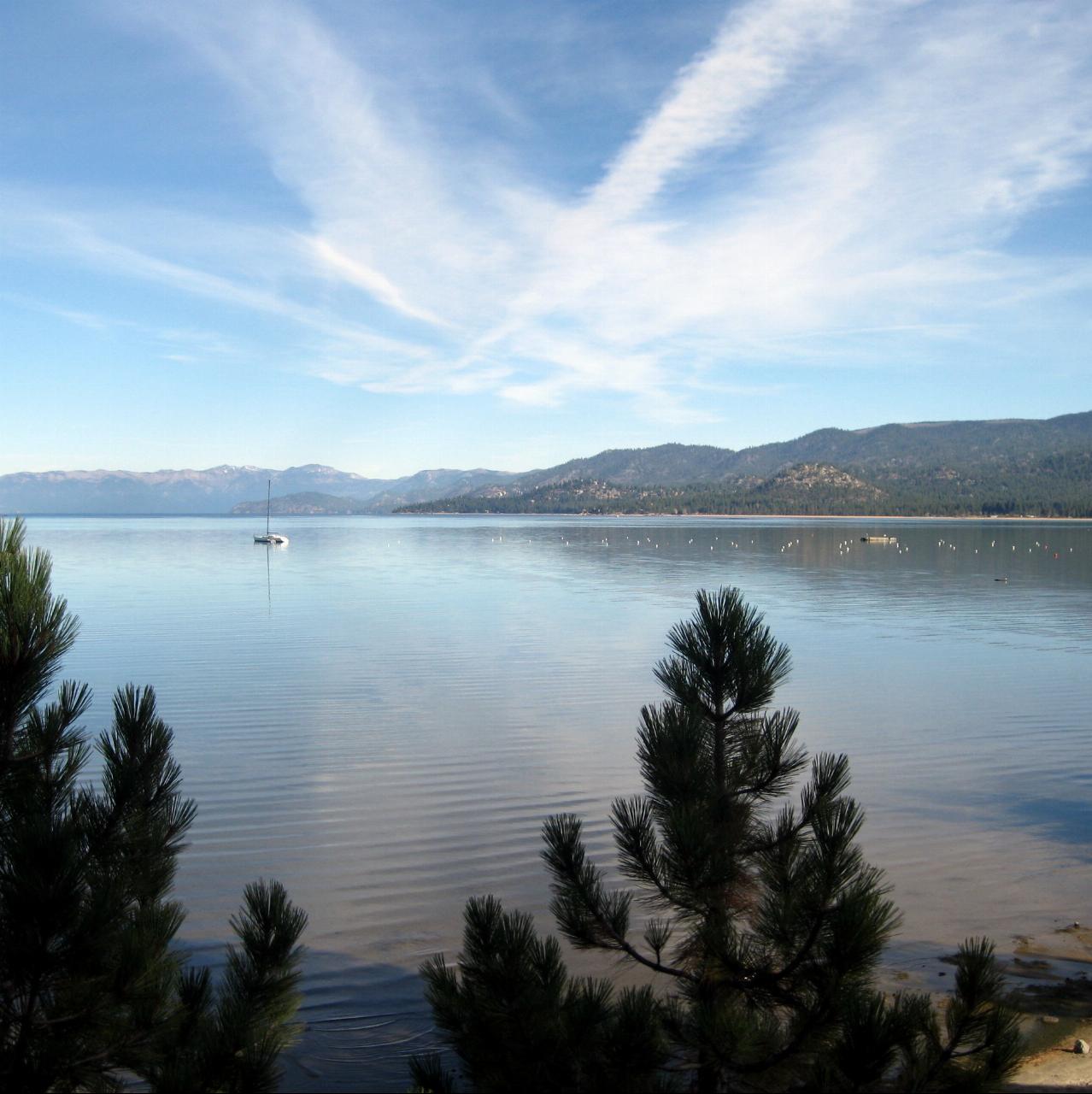
El Dorado Beach is the public beach at Lakeview Commons, a lakefront park on the south shore of Lake Tahoe in the middle of South Lake Tahoe, California. The land belongs to El Dorado County, and the City of South Lake Tahoe Parks and Recreation Department runs the park and beach under a lease with the county. The current terraced plaza, restroom building and beach access were built with California Tahoe Conservancy funding and dedicated in June 2012. Locals called the whole shoreline here El Dorado Beach long before the Lakeview Commons name arrived, and the city still uses both names.
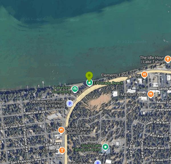
The park sits on the lake side of U.S. Highway 50 at Lakeview Avenue, with a street address of 1004 Lakeview Avenue. Turn toward the lake at Lakeview Avenue into the Lakeview Commons lot, which the city lists as free parking. The separate boat ramp lot holds 38 spaces reserved for vehicles with boat trailers, so don't park a car there. Overnight parking is not allowed. A bike and walking path also passes through the park.
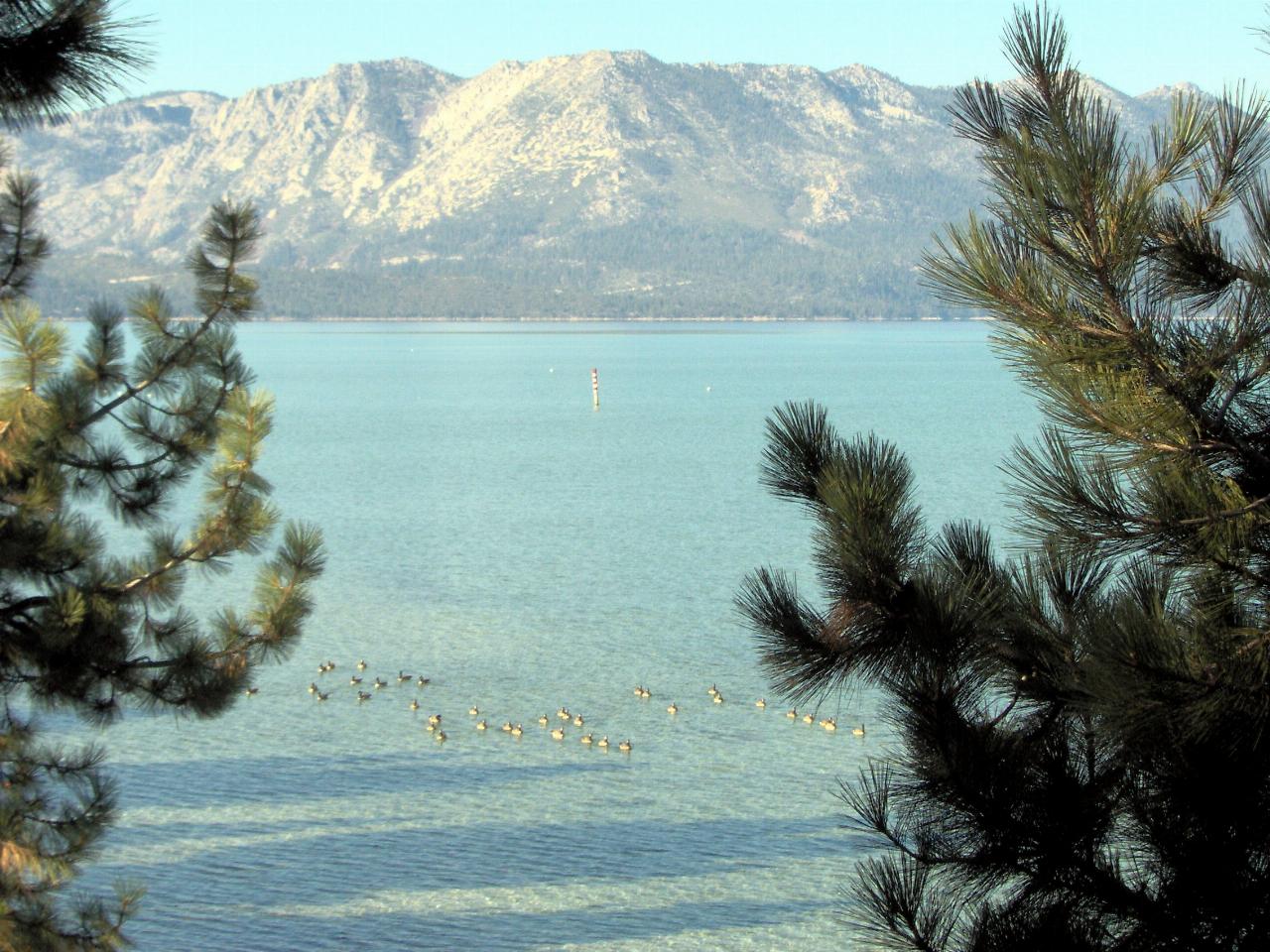
The swim area is the sandy beach just east of the boat ramp, in front of the stepped stone terraces that lead down from the plaza. The city ropes and buoys a swim zone off the sand, which keeps boats coming off the ramp away from swimmers. The bottom is sand and the entry is gradual. Lake Tahoe sits at about 6,225 feet, and even in August the surface water rarely gets much past the mid 60s Fahrenheit, with colder water just below it. The city's amenity list does not include lifeguards, so expect to swim without one. Afternoon wind can raise a real chop here and push paddlers out from shore.
There is no charge to use the beach, and the Lakeview Commons parking lot is free. The only fee on site is for launching a boat: $17 per day or $138 for a season pass, card only. The beach itself is open year round, but the restrooms and the food and kayak concessions close for winter, and the busy season runs roughly May through October.
Check current conditions before you go. Storm waves and high water have cut away much of the sand here more than once and exposed the plastic sandbags that held the shoreline. The city's El Dorado Beach Revetment and Improvement Project is replacing those sandbags with a rock revetment and new sand in phases, and while construction runs the beach, the Lakeview Commons park, the boat ramp and the parking lot are closed and fenced. More sand replenishment is planned in later phases. Call South Lake Tahoe Parks and Recreation at 530-542-6056 to confirm the beach is open.
Above the sand, the park has a large lawn, picnic tables and barbecue grills, restrooms, a food concession and a rental stand for kayaks, paddleboards and pedal boats in summer. It is an access point on the Lake Tahoe Water Trail, and the free Live at Lakeview concert series has filled the plaza on summer Thursday evenings since the park opened in 2012. All boats and paddle craft must be clean, drained and dry before launching to keep invasive species out of the lake.
More Information
Beaches | South Lake Tahoe, CA - Official Website
A list of links to pages describing lakeside and lakeview beaches the public may utilize
https://www.cityofslt.gov/830/BeachesBoat Ramp at El Dorado Beach and Lakeview Commons | South Lake Tahoe, CA - Official Website
Search autocomplete is currently not responding. Please try again later.
https://www.cityofslt.gov/296/Boat-Ramp-at-El-Dorado-BeachChecking your browser...
This will only take a few seconds…
https://southtahoenow.com/09/04/2026/phase-2-of-el-dorado-beach-revetment-and-improvement-project-begins-tuesdayEl Dorado Beach at Lakeview Commons | Lake Tahoe Public Beaches
El Dorado Beach just completed a $6 million renovation and welcomes visitors and residents alike! Come see what the excitement is all about.
https://www.tahoepublicbeaches.org/el-dorado-beach/El Dorado Beach Revetment Phase 2 Project
2026071238 - 2026-07-30 - NOE - El Dorado Beach Revetment Phase 2 Project
https://ceqanet.lci.ca.gov/2026071238Erosion issue prompts temporary closure of El Dorado Beach at Lakeview Commons - South Tahoe Now
SOUTH LAKE TAHOE, Calif. – El Dorado Beach at Lakeview Commons will be temporarily closed on July 2 and 3, 2025, to conduct emergency repairs, the City of South Lake […]
https://southtahoenow.com/07/02/2025/erosion-issue-prompts-temporary-closure-of-el-dorado-beach-at-lakeview-commonsLakeview Commons at South Lake Tahoe dedication - South Tahoe Now
The Dedication Ceremony of Lakeview Commons at El Dorado Beach was held today with a large turnout of contributing agencies, visitors and locals alike.
https://southtahoenow.com/06/20/2012/lakeview-commons-south-lake-tahoe-dedicationLakeview Commons/El Dorado Beach - Visit Lake Tahoe
El Dorado Beach and Boat Ramp is the place to go for large picnics, launching your boat, renting a kayak or water toy, viewing the lake or simply relaxing. Lakeview Commons at El Dorado Beach and Boat Ramp is the largest beach area in South Lake Tahoe.
https://visitlaketahoe.com/beaches/lakeview-commons-el-dorado-beach/
- Plan Ahead and Prepare
- Travel & camp on durable surfaces
- Dispose of waste properly
- Leave what you find
- Minimize campfire impacts
- Respect wildlife
- Be considerate of other visitors
Directions
From South Lake Tahoe
- Head south on Lake Tahoe Blvd toward Los Angeles Ave (0.1 mi)
- Turn left onto Lyons Ave (0.2 mi)
- Lyons Ave turns left and becomes Rufus Allen Blvd (0.5 mi)
- Turn left onto Lake Tahoe BlvdDestination will be on the right(0.1 mi)




Other Swimming Holes, Canoeing Areas, and Kayaking Areas Nearby
Nevada Beach Campground
Zephyr Cove
2.6 miles NEA mile of wide, coarse granite sand on the Nevada shore of Lake Tahoe, with a long shallow shelf that makes it one of the easiest big beaches on the lake to swim from. The Forest Service concessionaire charges a per vehicle day use fee at the Elks Point R
Camp, Hike, Kayak, Swim
Pope Beach
South Lake Tahoe
3.0 miles WA long sandy Forest Service beach on Lake Tahoe's south shore, three miles northwest of South Lake Tahoe, with clear, cold water and a $10 per vehicle day-use fee.
Kayak, Swim
Zephyr Cove Park
Glenbrook, Nevada
4.8 miles NSix tennis courts, disc golf, a sledding hill, a beach, and a fishing pond all at one free park make Zephyr Cove one of Lake Tahoe's most versatile family hangouts.
Camp, Canoe, Disc Golf, Hike, Horseback, Kayak, Swim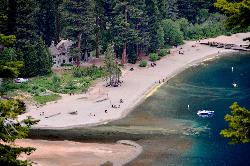
Vikingsholm Beach
South Lake Tahoe
7.0 miles WSandy beach at the head of Emerald Bay in Emerald Bay State Park, below the 1929 Vikingsholm mansion, reached by a steep one-mile trail. Free to walk in; parking is $10 a day.
Hike, Kayak, Swim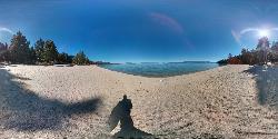
Lester Beach
South Lake Tahoe
7.8 miles NWLester Beach is the sandy main swim beach at D. L. Bliss State Park on Lake Tahoe's west shore, with clear, cold, shallow water and a $10 per vehicle day-use fee in season.
Camp, Canoe, Hike, Kayak, Swim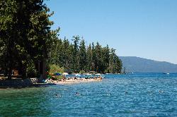
Sugar Pine Point Beach
Tahoma
10.6 miles NWA quarter-mile walk from the parking lot puts you on a sand beach at the foot of Ed Z'berg Sugar Pine Point State Park, where General Creek meets Lake Tahoe and the water runs clear enough to read the bottom. It is also genuinely cold, even in August.
Camp, Hike, Kayak, Swim
William Kent Beach
Tahoe City
16.5 miles NWA free Forest Service swim beach on Lake Tahoe's West Shore, two miles south of Tahoe City on Highway 89, with a pebbly shore, cold clear water and picnic tables across from William Kent Campground.
Kayak, Swim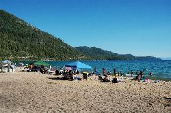
Sand Harbor State Park
Incline Village
17.5 miles NA Nevada State Parks day-use beach on Lake Tahoe's northeast shore near Incline Village, with a 2,500-foot sandy swim beach, very clear cold water and a $10 entry fee ($15 for non-Nevada vehicles).
Hike, Kayak, Swim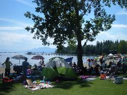
Commons Beach
Tahoe City
17.9 miles NWFree public beach and lakefront park in downtown Tahoe City on Lake Tahoe, run by the Tahoe City PUD, with cold clear water, a sand and cobble shore, kayak rentals and free summer concerts.
Kayak, Swim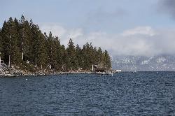
Lake Forest Beach
Tahoe City
17.9 miles NWA free public beach at the end of Bristlecone Street, owned by Placer County and run by the Tahoe City Public Utility District. Sandy, pine shaded and genuinely quiet, with the one real constraint being how few cars fit at the end of the road.
Camp, Canoe, Kayak, Swim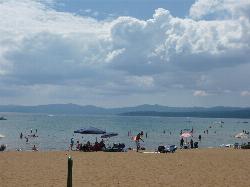
Kings Beach State Recreation Area
Kings Beach
20.3 miles NA wide sand beach with a shallow, gently sloping entry on Lake Tahoe's north shore, run by California State Parks in downtown Kings Beach. Parking costs $3 an hour or $10 a day, charged year round.
Kayak, Swim 4.1 mi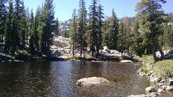
Shirley Lake Canyon Trail
Olympic Valley, California
22.6 miles NWA 2.5-mile hike from Squaw Valley Village past streams and waterfalls to a pure Sierra lake — rocky near the top, with a free gondola ride back down from High Camp as a reward.
Hike, Swim
Tahoe Area
Olympic Valley, California
23.8 miles NWSwim near Olympic Valley, California
Swim
Hell Hole Reservoir
Georgetown
24.9 miles WA 4,630 foot Rubicon River reservoir in the Eldorado National Forest, 51 miles and two hours east of Georgetown, where the boat ramp cove is the only drivable shoreline and the lake drops over 100 feet by September.
Camp, Canoe, Hike, Kayak, Swim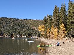
China Cove Beach
Truckee
29.8 miles NWChina Cove Beach is the sandy, shallow corner at the west end of Donner Memorial State Park, on the south shore of Donner Lake outside Truckee. California State Parks runs it, access is open to anyone paying the 10 dollar day use parking fee, and there is
Camp, Canoe, Hike, Kayak, Swim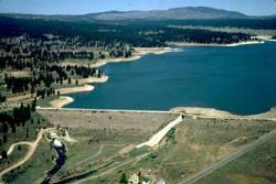
Boca Reservoir Hidden Beach
Truckee, California
33.3 miles NSandy informal beaches on the northeast shore of Boca Reservoir above Truckee, free to use, windy in the afternoons, and drawn down hard by the end of summer.
Camp, Canoe, Kayak, Kiteboard, Swim
Palisades Creek Trail
Truckee, California
34.8 miles NWA difficult Sierra Nevada trail past Palisade Falls — one of the tallest on the American River — with views of Devils Peak, alpine lakes, and 2,000 feet of elevation gain.
Hike, Swim
Heath Falls Overlook Trail
Truckee, California
34.8 miles NWHike and Swim near Truckee, California
Hike, Swim
Reno Area
McGill, Nevada
40.9 miles NSwim near McGill, Nevada
Swim
Wingfield Park
Reno, Nevada
40.9 miles NAn oasis in downtown Reno where manmade dams and natural rock formations turn the Truckee River into a playground for swimming, kayaking, tubing, and rafting.
Kayak, SwimNearby Campsites
Nevada Beach Campground
Zephyr Cove
2.6 miles NEA mile of wide, coarse granite sand on the Nevada shore of Lake Tahoe, with a long shallow shelf that makes it one of the easiest big beaches on the lake to swim from. The Forest Service concessionaire charges a per vehicle day use fee at the Elks Point R
Camp, Hike, Kayak, Swim
Zephyr Cove Park
Glenbrook, Nevada
4.8 miles NSix tennis courts, disc golf, a sledding hill, a beach, and a fishing pond all at one free park make Zephyr Cove one of Lake Tahoe's most versatile family hangouts.
Camp, Canoe, Disc Golf, Hike, Horseback, Kayak, Swim
Lester Beach
South Lake Tahoe
7.8 miles NWLester Beach is the sandy main swim beach at D. L. Bliss State Park on Lake Tahoe's west shore, with clear, cold, shallow water and a $10 per vehicle day-use fee in season.
Camp, Canoe, Hike, Kayak, Swim
Sugar Pine Point Beach
Tahoma
10.6 miles NWA quarter-mile walk from the parking lot puts you on a sand beach at the foot of Ed Z'berg Sugar Pine Point State Park, where General Creek meets Lake Tahoe and the water runs clear enough to read the bottom. It is also genuinely cold, even in August.
Camp, Hike, Kayak, Swim
Lake Forest Beach
Tahoe City
17.9 miles NWA free public beach at the end of Bristlecone Street, owned by Placer County and run by the Tahoe City Public Utility District. Sandy, pine shaded and genuinely quiet, with the one real constraint being how few cars fit at the end of the road.
Camp, Canoe, Kayak, Swim
Hell Hole Reservoir
Georgetown
24.9 miles WA 4,630 foot Rubicon River reservoir in the Eldorado National Forest, 51 miles and two hours east of Georgetown, where the boat ramp cove is the only drivable shoreline and the lake drops over 100 feet by September.
Camp, Canoe, Hike, Kayak, Swim
China Cove Beach
Truckee
29.8 miles NWChina Cove Beach is the sandy, shallow corner at the west end of Donner Memorial State Park, on the south shore of Donner Lake outside Truckee. California State Parks runs it, access is open to anyone paying the 10 dollar day use parking fee, and there is
Camp, Canoe, Hike, Kayak, Swim
Boca Reservoir Hidden Beach
Truckee, California
33.3 miles NSandy informal beaches on the northeast shore of Boca Reservoir above Truckee, free to use, windy in the afternoons, and drawn down hard by the end of summer.
Camp, Canoe, Kayak, Kiteboard, Swim
North Fork Falls
Colfax, California
43.6 miles NWClear water, cliff-jumping pools, and waterfalls at Sierra Nevada's North Fork Falls — a summer hike to two deep pools with 10-to-25-foot cliffs ready for leaping.
Camp, Hike, Swim


