


Nevada Beach Campground
Zephyr Cove
Camp, Hike, Kayak, and Swim
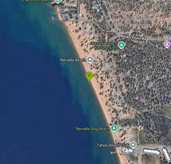
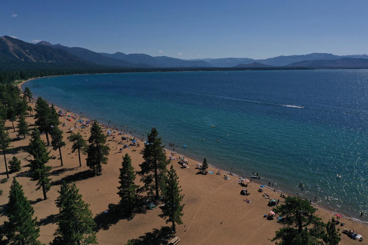
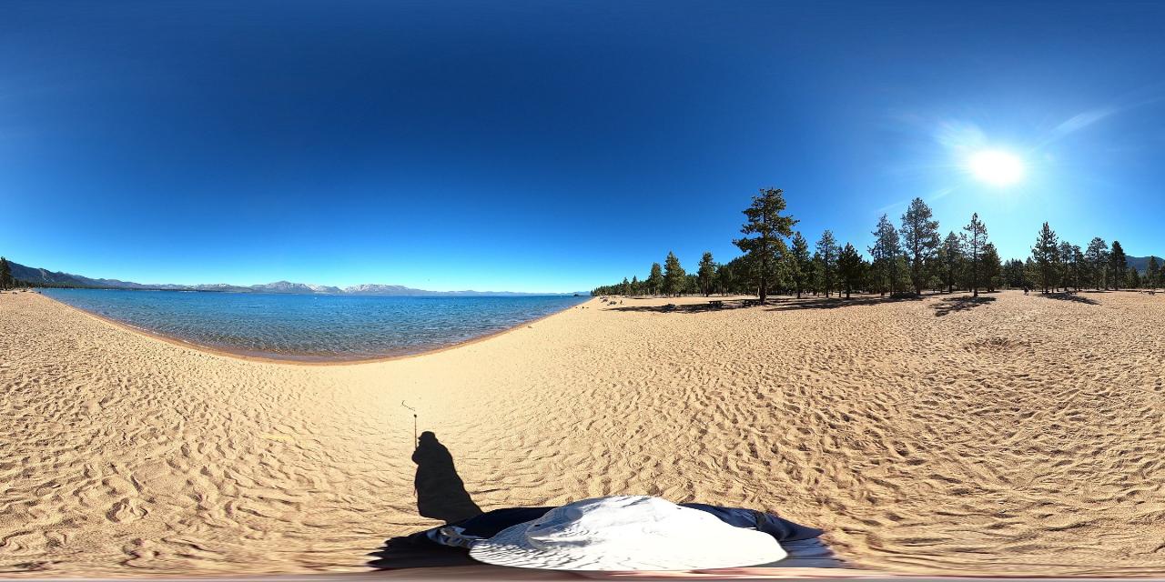
Nevada Beach is the wide sandy strip on the Nevada shore of Lake Tahoe, about three miles north of Stateline, and despite the name on most maps it is two separate things sharing one address. The day use beach and picnic area is one, the campground behind it is the other, and they carry separate fees. All of it sits on National Forest land inside the Lake Tahoe Basin Management Unit, and the Forest Service is the land manager of record. You get in off U.S. Highway 50 at Elks Point Road, on the lake side of the highway, and follow it down through the pines to a gated entrance kiosk. The beach itself runs close to a mile and is wider than any other beach on the lake, which is the reason it absorbs a summer crowd better than the pocket coves further north.
The day use fee is charged by Tahoe Recreation, the concessionaire that runs the site under a Forest Service special use permit, and it is collected per vehicle at the kiosk as you park inside the gate. A single day runs about 12 dollars per car, more over the Fourth of July weekend, and season passes for the National Forest beaches are sold right there at the kiosk. That is entirely separate from camping, which is booked through recreation.gov at 47 dollars a night plus a 2 dollar holiday surcharge. The fee is on the parking, not on the sand, so foot traffic is welcome year round even when the lot is gated shut. Parking hours run 8 a.m. to sunset from Memorial Day through mid October, and on a hot July Saturday the lot is full well before noon.
The swimming is the shallow shelf. The sand is coarse and granitic, it slopes off gently, and you can wade a long way out before it gets over your head, which makes this one of the easier Tahoe beaches for kids and for anyone who wants to stand in chest deep water rather than commit. The water is startlingly clear. The 2025 clarity reading for the lake averaged 69.2 feet of Secchi depth, and on a calm morning here you can watch your own feet on the bottom. It is also cold, because the lake sits at roughly 6,225 feet. June is usually somewhere around 57 to 60 degrees, July climbs into the mid 60s, August is the peak at close to 70 in the shallows, September falls back into the low 60s, and by October it is mid 50s again. Outside that window the surface is in the 40s and low 50s, so anyone swimming in spring or late fall is doing a cold water swim whether they planned one or not.
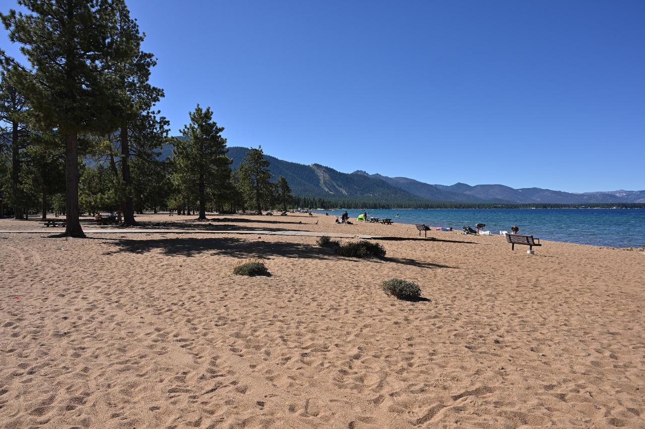
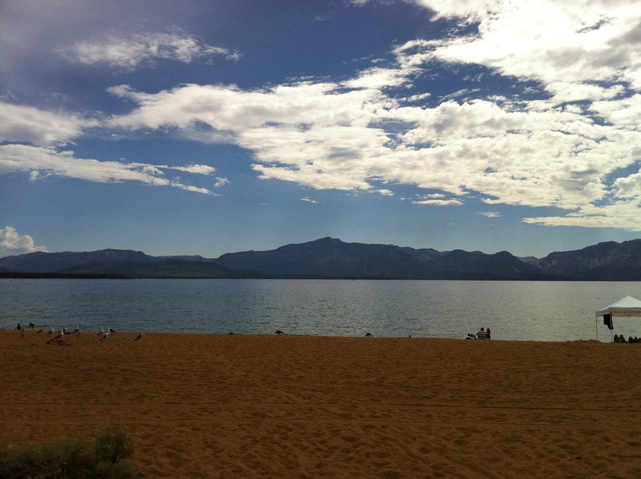
Mornings are the glassy part of the day. A southwest wind typically builds through the afternoon and pushes real chop onto this shore, which turns a flat swim into a workout and blows air mattresses out toward the middle of the lake. Plan the long swim before lunch. The view is the other reason to come, because you are looking straight across at the west shore and the Desolation Wilderness crest, and the Jeffrey pines run right down to the back of the sand so there is actual shade a few steps off the water. At 6,200 feet the sun is harsh and you get winded faster than you expect.
There is a covered timber pavilion on the beach with ten picnic tables and large barbecue stations, reservable through recreation.gov for groups up to 150 with a cleaning deposit. Flush toilets are on site, though the Forest Service notes potable water is not available at the day use area. Kayak and paddleboard rentals operate in season, and the beach is a marked Lake Tahoe Water Trail access point, with a small boat-in picnic area but no launch ramp. Dogs are prohibited on the beach and in the picnic areas, though leashed pets are fine in the campground loop. Campfires on the sand are not allowed. The Lam Watah trail leaves the back of the beach and runs through Rabe Meadow on boardwalk over Burke Creek to Kahle Drive in Stateline, a flat couple of miles. There is no lifeguard at any point in the season.
More Information
Be courteous, informed, and prepared. Read trailhead guidelines, stay on the trail, and don't feed the wildlife.
Read More
- Plan Ahead and Prepare
- Travel & camp on durable surfaces
- Dispose of waste properly
- Leave what you find
- Minimize campfire impacts
- Respect wildlife
- Be considerate of other visitors
Directions
From Zephyr Cove
- Head south on Don Dr toward Jerry Dr/
Lakeview Dr (0.3 mi) - Turn left onto Jerry Dr/
Lakeview Dr (0.2 mi) - Turn left onto Lakeview Dr (302 ft)
- Turn left onto Hwy 50 (1.2 mi)
- Turn right onto Elks Point Rd (0.5 mi)
- Slight leftParts of this road may be closed at certain times or days(0.1 mi)
- Turn left (190 ft)
- Turn right (180 ft)
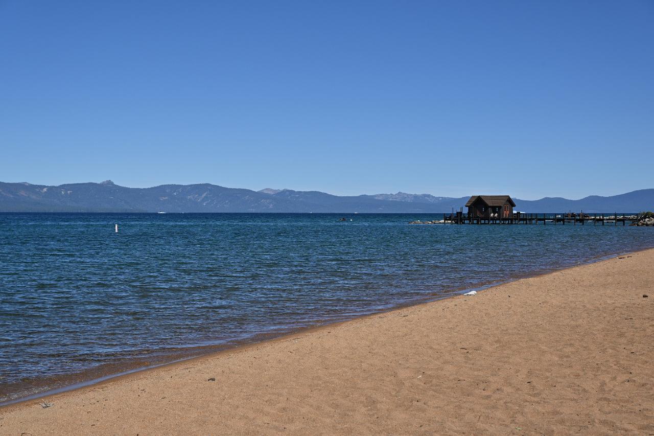
 Coarse sand at the waterline on Nevada Beach, with the pier and Lake Tahoe beyond. courtesy of G. Edward Johnson↗ (CC BY 4.0↗)
 Pines running down to the back of the sand, with the lake on the right. courtesy of G. Edward Johnson↗ (CC BY 4.0↗)
 The Nevada Beach shoreline looking out across Lake Tahoe. courtesy of Sergey Yarmolyuk↗ (CC BY-SA 4.0↗)
 Panorama of the wide sandy beach, the treeline and the lake on a calm August morning. courtesy of G. Edward Johnson↗ (CC BY 4.0↗)
 Summer afternoon on Nevada Beach looking toward the west shore. courtesy of Noah_Loverbear↗ (CC BY-SA 3.0↗)
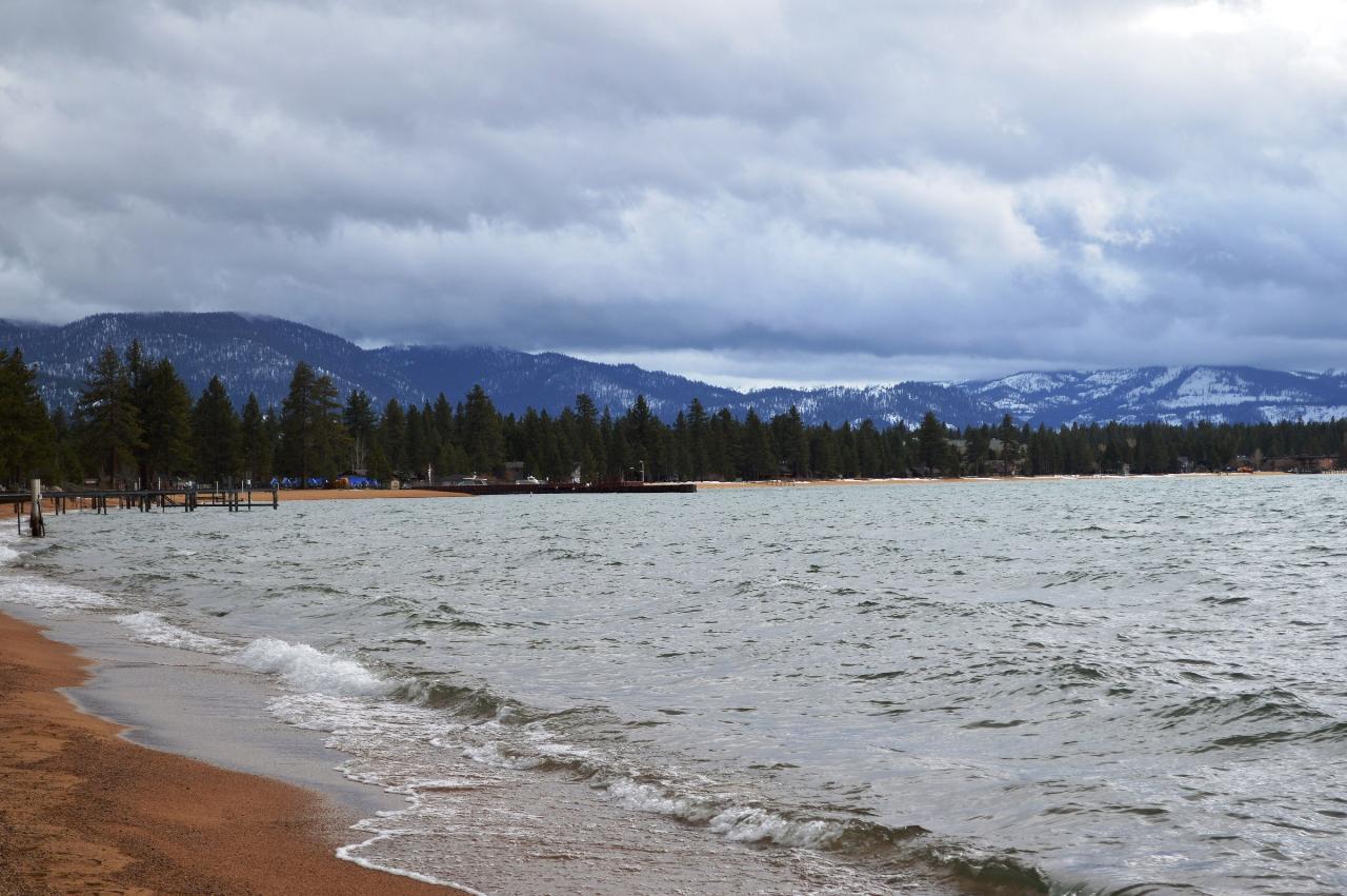
 A winter evening on the lakeshore at Nevada Beach, outside the parking season. courtesy of Blake Everett↗ (CC0↗)
Other Swimming Holes, Hiking Trails, and Kayaking Areas Nearby
Zephyr Cove Park
Glenbrook, Nevada
2.2 miles NSix tennis courts, disc golf, a sledding hill, a beach, and a fishing pond all at one free park make Zephyr Cove one of Lake Tahoe's most versatile family hangouts.
Camp, Canoe, Disc Golf, Hike, Horseback, Kayak, Swim 0.4 mi
Glen Alpine Falls
South Lake Tahoe, California
9.4 miles SWA roadside waterfall near Lake Tahoe — wider than it is tall — with roadside parking, a scenic overlook, and the option to scramble down the rocks for a closer look.
Hike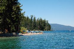
Sugar Pine Point Beach
Tahoma
10.0 miles NWA quarter-mile walk from the parking lot puts you on a sand beach at the foot of Ed Z'berg Sugar Pine Point State Park, where General Creek meets Lake Tahoe and the water runs clear enough to read the bottom. It is also genuinely cold, even in August.
Camp, Hike, Kayak, Swim 1.5 mi
Skunk Harbor
Carson City, Nevada
10.4 miles NA forest service road hike from the 28 freeway to a secluded beach area near Carson City with mountain views, a historic building, and a marker — dogs welcome.
Hike
Lake Forest Beach
Tahoe City
16.4 miles NWA free public beach at the end of Bristlecone Street, owned by Placer County and run by the Tahoe City Public Utility District. Sandy, pine shaded and genuinely quiet, with the one real constraint being how few cars fit at the end of the road.
Camp, Canoe, Kayak, Swim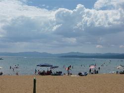
Kings Beach State Recreation Area
Kings Beach
18.2 miles NA wide sand beach with a shallow, gently sloping entry on Lake Tahoe's north shore, run by California State Parks in downtown Kings Beach. Parking costs $3 an hour or $10 a day, charged year round.
Kayak, Swim 4.1 mi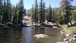
Shirley Lake Canyon Trail
Olympic Valley, California
21.6 miles NWA 2.5-mile hike from Squaw Valley Village past streams and waterfalls to a pure Sierra lake — rocky near the top, with a free gondola ride back down from High Camp as a reward.
Hike, Swim
Shirley Canyon
Olympic Valley, California
22.2 miles NWShirley Canyon is widely regarded as one of Lake Tahoe's finest half-day hikes, a spectacular climb up a granite canyon that rises straight out of the base of the Palisades Tahoe ski resort in...
Hike
Tahoe Area
Olympic Valley, California
22.9 miles NWSwim near Olympic Valley, California
Swim
Hell Hole Reservoir
Georgetown
25.4 miles WA 4,630 foot Rubicon River reservoir in the Eldorado National Forest, 51 miles and two hours east of Georgetown, where the boat ramp cove is the only drivable shoreline and the lake drops over 100 feet by September.
Camp, Canoe, Hike, Kayak, Swim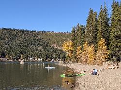
China Cove Beach
Truckee
28.4 miles NWChina Cove Beach is the sandy, shallow corner at the west end of Donner Memorial State Park, on the south shore of Donner Lake outside Truckee. California State Parks runs it, access is open to anyone paying the 10 dollar day use parking fee, and there is
Camp, Canoe, Hike, Kayak, Swim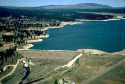
Boca Reservoir Hidden Beach
Truckee, California
31.3 miles NSandy informal beaches on the northeast shore of Boca Reservoir above Truckee, free to use, windy in the afternoons, and drawn down hard by the end of summer.
Camp, Canoe, Kayak, Kiteboard, Swim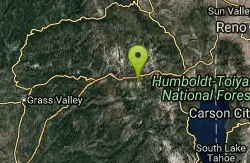
Heath Falls Overlook Trail
Truckee, California
34.1 miles NWHike and Swim near Truckee, California
Hike, Swim
Palisades Creek Trail
Truckee, California
34.1 miles NWA difficult Sierra Nevada trail past Palisade Falls — one of the tallest on the American River — with views of Devils Peak, alpine lakes, and 2,000 feet of elevation gain.
Hike, Swim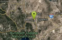
Reno Area
McGill, Nevada
38.3 miles NSwim near McGill, Nevada
Swim
Wingfield Park
Reno, Nevada
38.4 miles NAn oasis in downtown Reno where manmade dams and natural rock formations turn the Truckee River into a playground for swimming, kayaking, tubing, and rafting.
Kayak, Swim
North Fork Falls
Colfax, California
43.5 miles NWClear water, cliff-jumping pools, and waterfalls at Sierra Nevada's North Fork Falls — a summer hike to two deep pools with 10-to-25-foot cliffs ready for leaping.
Camp, Hike, SwimNearby Campsites
Zephyr Cove Park
Glenbrook, Nevada
2.2 miles NSix tennis courts, disc golf, a sledding hill, a beach, and a fishing pond all at one free park make Zephyr Cove one of Lake Tahoe's most versatile family hangouts.
Camp, Canoe, Disc Golf, Hike, Horseback, Kayak, Swim
Sugar Pine Point Beach
Tahoma
10.0 miles NWA quarter-mile walk from the parking lot puts you on a sand beach at the foot of Ed Z'berg Sugar Pine Point State Park, where General Creek meets Lake Tahoe and the water runs clear enough to read the bottom. It is also genuinely cold, even in August.
Camp, Hike, Kayak, Swim
Lake Forest Beach
Tahoe City
16.4 miles NWA free public beach at the end of Bristlecone Street, owned by Placer County and run by the Tahoe City Public Utility District. Sandy, pine shaded and genuinely quiet, with the one real constraint being how few cars fit at the end of the road.
Camp, Canoe, Kayak, Swim
Hell Hole Reservoir
Georgetown
25.4 miles WA 4,630 foot Rubicon River reservoir in the Eldorado National Forest, 51 miles and two hours east of Georgetown, where the boat ramp cove is the only drivable shoreline and the lake drops over 100 feet by September.
Camp, Canoe, Hike, Kayak, Swim
China Cove Beach
Truckee
28.4 miles NWChina Cove Beach is the sandy, shallow corner at the west end of Donner Memorial State Park, on the south shore of Donner Lake outside Truckee. California State Parks runs it, access is open to anyone paying the 10 dollar day use parking fee, and there is
Camp, Canoe, Hike, Kayak, Swim
Boca Reservoir Hidden Beach
Truckee, California
31.3 miles NSandy informal beaches on the northeast shore of Boca Reservoir above Truckee, free to use, windy in the afternoons, and drawn down hard by the end of summer.
Camp, Canoe, Kayak, Kiteboard, Swim
North Fork Falls
Colfax, California
43.5 miles NWClear water, cliff-jumping pools, and waterfalls at Sierra Nevada's North Fork Falls — a summer hike to two deep pools with 10-to-25-foot cliffs ready for leaping.
Camp, Hike, Swim


