


Lake Forest Beach
Tahoe City
Camp, Canoe, Kayak, and Swim
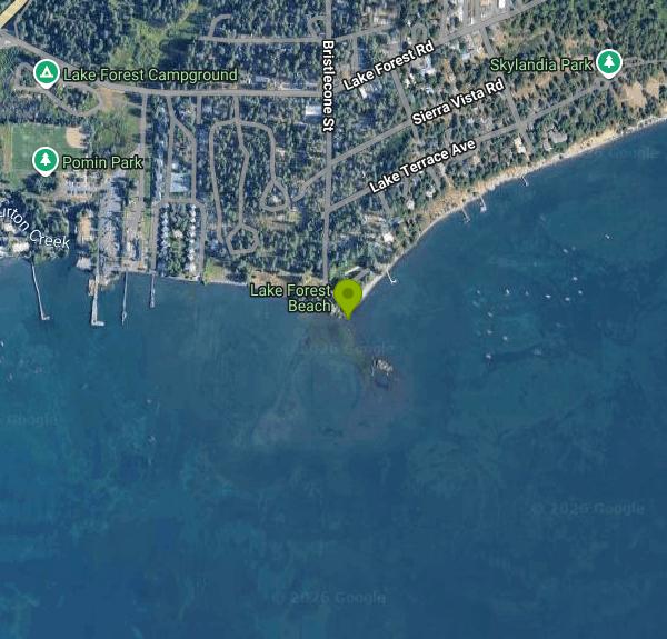
Lake Forest Beach sits at the foot of Bristlecone Street where it meets Aqua, on the stretch of Lake Tahoe's north west shore between the Lake Forest neighborhood and Dollar Point, under two miles north east of Tahoe City. Placer County owns it and the Tahoe City Public Utility District operates and maintains it. Both agencies list swimming first among the things people come here to do. There is no entry fee and no parking fee. The county and the district run it as an open public park, and it is absent from the Lake Tahoe Public Beaches roster of north shore beaches that charge for parking or day use, which is the practical test on this shoreline where several of the better known beaches do charge.
The catch is not money, it is room. Parking is a small gravel and dirt clearing at the end of Bristlecone, and TCPUD says plainly that parking is limited. On a hot July afternoon the spaces go early. A public transit stop sits a few blocks inland on North Lake Boulevard, which is the realistic alternative once the clearing fills. Gates open half an hour before sunrise and close half an hour after sunset by the county's wording, or dawn to dusk in the district's.
The beach itself is a low sandy strip with a spit at its eastern end, backed by pines that throw usable shade by mid afternoon. Entry is gradual and sandy underfoot. The water is cold. Tahoe is deep enough that it never freezes and never properly warms, so even in late August the shallows here are bracing for the first minute. Facilities are modest and honest about it: picnic tables, drinking fountains, portable restrooms, and racks where TCPUD rents season long storage space for a kayak or paddleboard. The beach is a listed access point on the Lake Tahoe Water Trail, so paddlers put in here regularly. TCPUD also names wind surfing, horseshoes and bird watching among the uses, and Lake Forest Creek enters the lake a short way north through a channel the California Tahoe Conservancy and the Army Corps of Engineers restored to its natural path in 2014 to cut the fine sediment reaching the lake.
Two neighboring facilities carry their own fees and are easy to confuse with the beach. The Lake Forest Boat Ramp on Lake Forest Road charges a daily launch fee of twenty dollars for TCPUD residents and seventy five for non residents, with mandatory TRPA inspection for motorized craft. The Lake Forest Campground next to it charges thirty dollars a night for its twenty first come first served sites. Neither fee touches swimming from the beach. Campfires are never permitted on Tahoe beaches, and the North Tahoe Fire Protection District can restrict barbecues outright during fire season.
More Information

- Plan Ahead and Prepare
- Travel & camp on durable surfaces
- Dispose of waste properly
- Leave what you find
- Minimize campfire impacts
- Respect wildlife
- Be considerate of other visitors
Directions
From Tahoe City
- Head southeast on W Lake Blvd toward Mackinaw Rd (0.3 mi)
- At the traffic circle, take the 3rd exit and stay on W Lake Blvd (0.4 mi)
- Turn right onto State Hwy 28 E/
N Lake Blvd (1.8 mi) - Turn right onto Lake Forest Rd (0.4 mi)
- Turn right onto Bristlecone St (0.2 mi)
- Bristlecone St turns left and becomes AquaDestination will be on the right(59 ft)
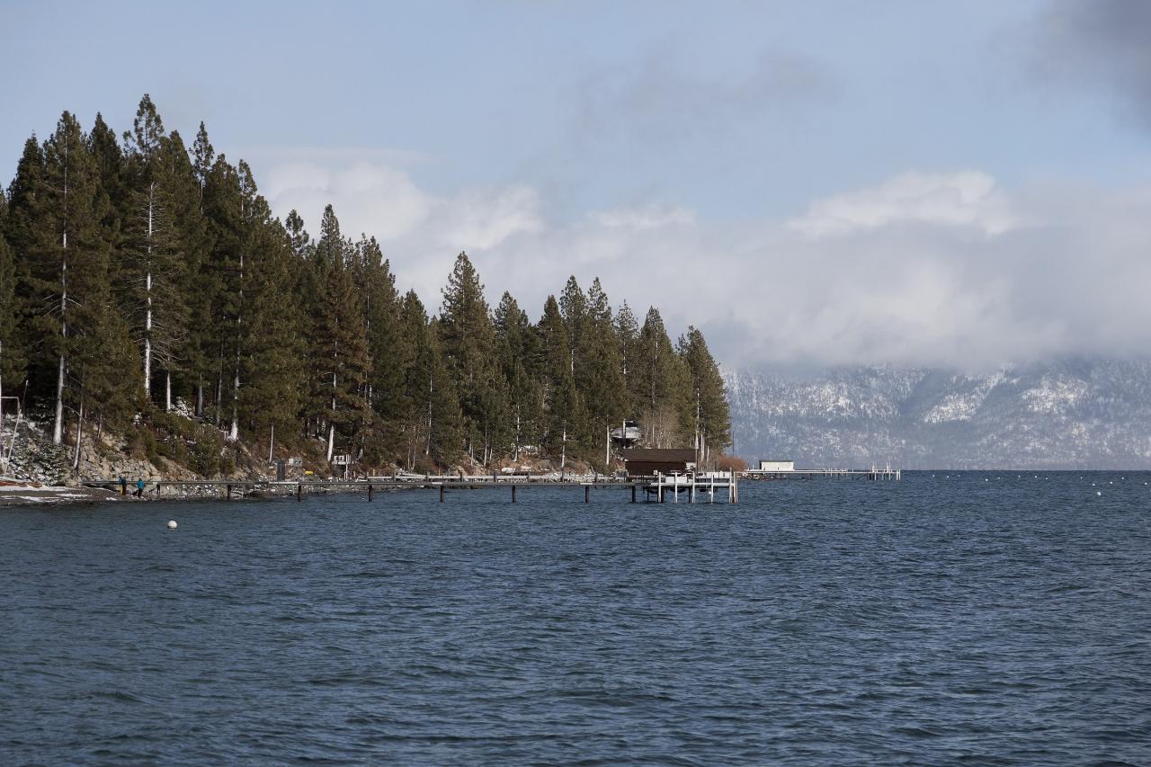
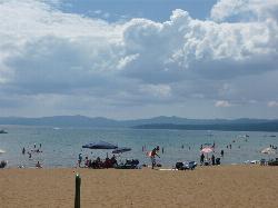
 The Lake Forest and Dollar Point shoreline looking out across Lake Tahoe courtesy of Clyde Charles Brown↗ (CC BY-SA 4.0↗)
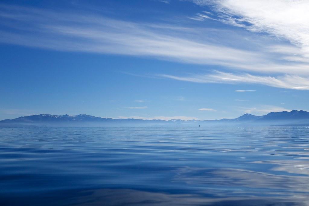
 Calm water and the Sierra skyline from the shore just east of the beach courtesy of BitBoy↗ (CC BY 2.0↗)
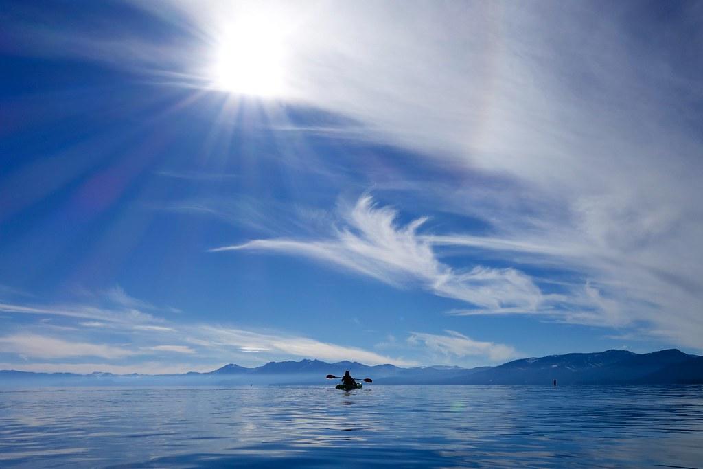
 A kayaker on the water off this stretch of shoreline courtesy of BitBoy↗ (CC BY 2.0↗)
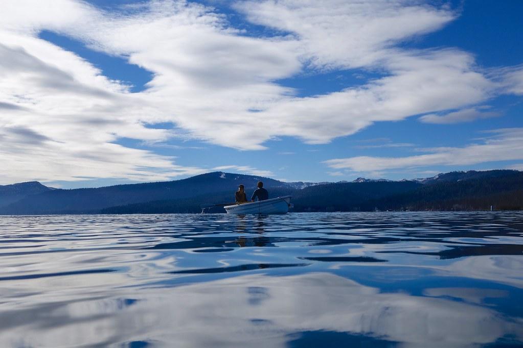
 Two people in a small boat close in along the same shore courtesy of BitBoy↗ (CC BY 2.0↗)
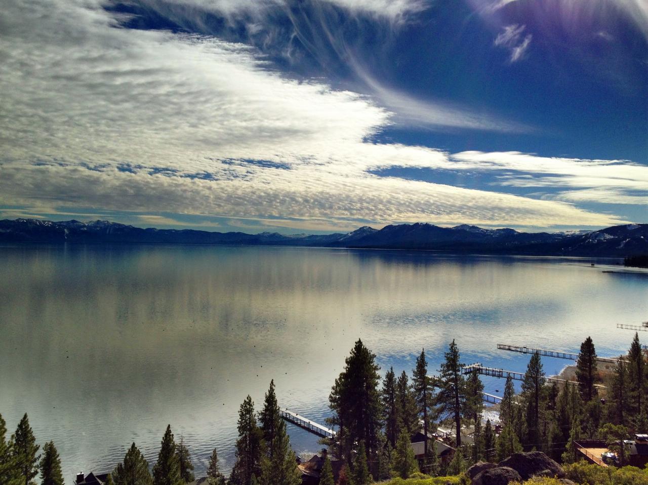
 An aerial view along the north shore with docks lining the beaches courtesy of http://tahoesignatureproperties.com/↗ (CC BY-SA 4.0↗)
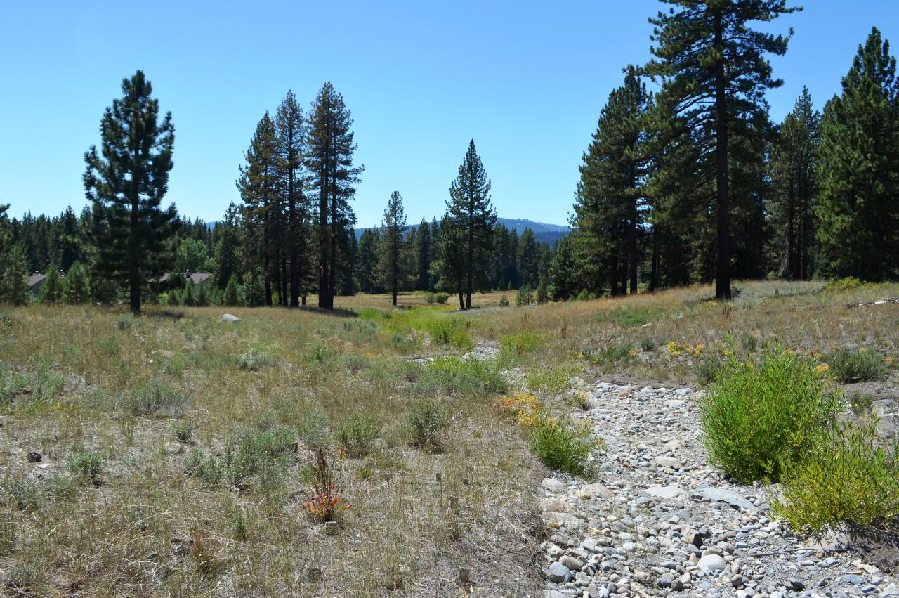
 Lake Forest Creek in its restored channel a short way north of the beach courtesy of U.S. Army Corps of Engineers Sacramento District↗ (Public domain↗)
Other Swimming Holes, Canoeing Areas, and Kayaking Areas Nearby
Kings Beach State Recreation Area
Kings Beach
6.2 miles NEA wide sand beach with a shallow, gently sloping entry on Lake Tahoe's north shore, run by California State Parks in downtown Kings Beach. Parking costs $3 an hour or $10 a day, charged year round.
Kayak, Swim 4.1 mi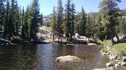
Shirley Lake Canyon Trail
Olympic Valley, California
6.9 miles WA 2.5-mile hike from Squaw Valley Village past streams and waterfalls to a pure Sierra lake — rocky near the top, with a free gondola ride back down from High Camp as a reward.
Hike, Swim
Tahoe Area
Olympic Valley, California
8.5 miles WSwim near Olympic Valley, California
Swim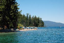
Sugar Pine Point Beach
Tahoma
8.7 miles SA quarter-mile walk from the parking lot puts you on a sand beach at the foot of Ed Z'berg Sugar Pine Point State Park, where General Creek meets Lake Tahoe and the water runs clear enough to read the bottom. It is also genuinely cold, even in August.
Camp, Hike, Kayak, Swim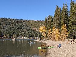
China Cove Beach
Truckee
12.1 miles NWChina Cove Beach is the sandy, shallow corner at the west end of Donner Memorial State Park, on the south shore of Donner Lake outside Truckee. California State Parks runs it, access is open to anyone paying the 10 dollar day use parking fee, and there is
Camp, Canoe, Hike, Kayak, Swim
Zephyr Cove Park
Glenbrook, Nevada
14.9 miles SESix tennis courts, disc golf, a sledding hill, a beach, and a fishing pond all at one free park make Zephyr Cove one of Lake Tahoe's most versatile family hangouts.
Camp, Canoe, Disc Golf, Hike, Horseback, Kayak, Swim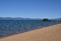
Nevada Beach Campground
Zephyr Cove
16.4 miles SEA mile of wide, coarse granite sand on the Nevada shore of Lake Tahoe, with a long shallow shelf that makes it one of the easiest big beaches on the lake to swim from. The Forest Service concessionaire charges a per vehicle day use fee at the Elks Point R
Camp, Hike, Kayak, Swim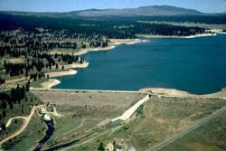
Boca Reservoir Hidden Beach
Truckee, California
16.6 miles NSandy informal beaches on the northeast shore of Boca Reservoir above Truckee, free to use, windy in the afternoons, and drawn down hard by the end of summer.
Camp, Canoe, Kayak, Kiteboard, Swim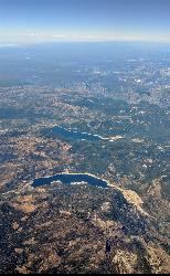
Hell Hole Reservoir
Georgetown
18.0 miles SWA 4,630 foot Rubicon River reservoir in the Eldorado National Forest, 51 miles and two hours east of Georgetown, where the boat ramp cove is the only drivable shoreline and the lake drops over 100 feet by September.
Camp, Canoe, Hike, Kayak, Swim
Palisades Creek Trail
Truckee, California
19.1 miles NWA difficult Sierra Nevada trail past Palisade Falls — one of the tallest on the American River — with views of Devils Peak, alpine lakes, and 2,000 feet of elevation gain.
Hike, Swim
Heath Falls Overlook Trail
Truckee, California
19.1 miles NWHike and Swim near Truckee, California
Hike, Swim
Reno Area
McGill, Nevada
28.5 miles NESwim near McGill, Nevada
Swim
Wingfield Park
Reno, Nevada
28.6 miles NEAn oasis in downtown Reno where manmade dams and natural rock formations turn the Truckee River into a playground for swimming, kayaking, tubing, and rafting.
Kayak, Swim
North Fork Falls
Colfax, California
30.8 miles WClear water, cliff-jumping pools, and waterfalls at Sierra Nevada's North Fork Falls — a summer hike to two deep pools with 10-to-25-foot cliffs ready for leaping.
Camp, Hike, Swim 0.1 mi
Edwards Crossing
Nevada City, California
47.6 miles WDeep blue water, rock cliffs, and a sandy beach on the Yuba River — with a half-mile walk from the parking lot and cliff jumping spots up to 20 feet deep.
Hike, SwimNearby Campsites
Sugar Pine Point Beach
Tahoma
8.7 miles SA quarter-mile walk from the parking lot puts you on a sand beach at the foot of Ed Z'berg Sugar Pine Point State Park, where General Creek meets Lake Tahoe and the water runs clear enough to read the bottom. It is also genuinely cold, even in August.
Camp, Hike, Kayak, Swim
China Cove Beach
Truckee
12.1 miles NWChina Cove Beach is the sandy, shallow corner at the west end of Donner Memorial State Park, on the south shore of Donner Lake outside Truckee. California State Parks runs it, access is open to anyone paying the 10 dollar day use parking fee, and there is
Camp, Canoe, Hike, Kayak, Swim
Zephyr Cove Park
Glenbrook, Nevada
14.9 miles SESix tennis courts, disc golf, a sledding hill, a beach, and a fishing pond all at one free park make Zephyr Cove one of Lake Tahoe's most versatile family hangouts.
Camp, Canoe, Disc Golf, Hike, Horseback, Kayak, Swim
Nevada Beach Campground
Zephyr Cove
16.4 miles SEA mile of wide, coarse granite sand on the Nevada shore of Lake Tahoe, with a long shallow shelf that makes it one of the easiest big beaches on the lake to swim from. The Forest Service concessionaire charges a per vehicle day use fee at the Elks Point R
Camp, Hike, Kayak, Swim
Boca Reservoir Hidden Beach
Truckee, California
16.6 miles NSandy informal beaches on the northeast shore of Boca Reservoir above Truckee, free to use, windy in the afternoons, and drawn down hard by the end of summer.
Camp, Canoe, Kayak, Kiteboard, Swim
Hell Hole Reservoir
Georgetown
18.0 miles SWA 4,630 foot Rubicon River reservoir in the Eldorado National Forest, 51 miles and two hours east of Georgetown, where the boat ramp cove is the only drivable shoreline and the lake drops over 100 feet by September.
Camp, Canoe, Hike, Kayak, Swim
North Fork Falls
Colfax, California
30.8 miles WClear water, cliff-jumping pools, and waterfalls at Sierra Nevada's North Fork Falls — a summer hike to two deep pools with 10-to-25-foot cliffs ready for leaping.
Camp, Hike, Swim


