


Spencer Mountain
Whitefish, Montana
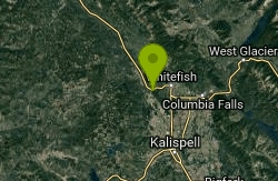
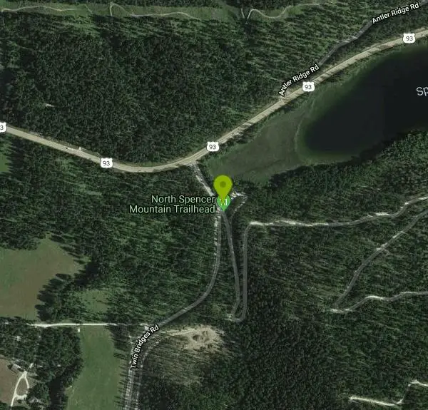
| Address: | ~33 Twin Bridges Rd, Whitefish, MT 59937, USA |
| GPS: |
48°23'42.0"N 114°25'33.5"W Maps | Directions |
| State: | Montana |
| Trail Length: | 5.00 miles |
| MTB Difficulty: | Advanced |
| Trail Type: | Network |
| MTB Trail Type: | Singletrack |
Mountain Bike
The fire road up is a kind of stairway to heaven. It provides easy access to the top where you can access a spider web of great, narrow, singletrack downhills, some including north shore-style stunts. The only drawback is that the downhills seem to be over in a flash. Oh, well, just climb back up and do it again! Courtesy of Singletracks.com
More Information
Spencer Mountain Mountain Bike Trail in Whitefish, Montana - Directions, Maps, Photos, and Reviews
Spencer Mountain is a singletrack mountain bike trail in Whitefish, Montana. View maps, videos, photos, and reviews of Spencer Mountain bike trail in Whitefish.
http://www.singletracks.com/bike-trails/spencer-mountain/Never modify trail features. Ride trails when they're dry enough that you won't leave ruts. Speak up when you see others on the trail and always yield to hikers, horses, and others coming uphill. Always ride on the established trail.
Read More
- Plan Ahead and Prepare
- Travel & camp on durable surfaces
- Dispose of waste properly
- Leave what you find
- Minimize campfire impacts
- Respect wildlife
- Be considerate of other visitors
Directions
From Whitefish, Montana
- Head west on US-93 N toward Central Ave (4.7 mi)
- Turn left onto Twin Bridges RdDestination will be on the left(394 ft)
Other Mountain Bike Trails Nearby
Skyles Lake Parking Lot
Whitefish, Montana
1.5 miles NEA short singletrack connector near Whitefish that serves as a shuttle link between the Whitefish and Beaver Lake trail systems.
Mountain Bike
Whitefish Trail
Whitefish, Montana
2.3 miles NAn 11-mile mountain bike route with incredible flowing switchbacks, fast descents, and a 200-yard rock cliff overlook — one of the best rides near Whitefish, Montana.
Mountain Bike
Whitefish Bikepath
Whitefish, Montana
3.7 miles NEA well-built bike path looping through Whitefish's outskirts past the city beach — a quick, easy leg-stretcher with a scenic lakeside stop.
Mountain Bike
Tally Lake Overlook
Whitefish, Montana
3.8 miles WA Whitefish mountain bike trail with uber-steep singletrack climbs, rocky and rooty descents, and sharp turns that sneak up fast — pick up the Glacier Cyclery guide before you go.
Mountain Bike
Tally Ridge Trail #458
Whitefish, Montana
3.9 miles WA 3-mile mountain bike and hiking trail in the Whitefish area that begins at the Tally Lake trailhead and climbs to the ridge on the east side of Tally Lake.
Mountain Bike
196 Stovepipe Canyon
Whitefish, Montana
3.9 miles WA singletrack descent through the forest leads down to Tally Lake near Whitefish, Montana — worth the climb back out for a dip in the lake at the end.
Mountain Bike
Pig Farm
Kalispell, Montana
4.5 miles SA mind-boggling web of unmarked trails near Kalispell — nothing is signed and routes go every which way, making it a rewarding maze for adventurous riders.
Mountain Bike
Reid Divide/trail #800 To Trail #801
Whitefish, Montana
5.4 miles WOne of the best singletrack trails in Montana — an 11-mile climb on gravel roads leads to amazing flow, rocks, roots, jumps, berms, and a superb tight switchback finish.
Mountain Bike
Boney Gulch Trail #801
Whitefish, Montana
6.0 miles WA 2.8-mile trail winding through old-growth trees with views of Tally Lake, open to hikers, mountain bikers, and horseback riders near Whitefish.
Mountain Bike
Round Meadows Trail System
Whitefish, Montana
6.2 miles NWA 12-mile nordic ski trail system near Whitefish with 7 loops from easy to advanced-moderate, weekly grooming, and summer use by hikers, bikers, and horseback riders — dogs allowed off-leash with voice control.
Mountain Bike
Lupfer Trailhead Loop
Whitefish, Montana
6.4 miles NWA loop mountain bike trail near Whitefish with an optional 0.7-mile side trail to a lookout — overgrown but enjoyable for beginners, with a few good turns and exposed roots.
Mountain Bike
Swift Creek Trail
Whitefish, Montana
6.7 miles NA short out-and-back section of the Whitefish Trails that ends at a nice overlook — a quick, scenic ride near Whitefish, Montana.
Mountain Bike
Runaway Train Trail #815
Whitefish, Montana
7.0 miles NEA 2.8-mile advanced downhill-only trail from Whitefish Mountain Resort's summit to the base, loaded with rock drops and natural features — serious riders only.
Mountain Bike
Reid Divide Fire Road Loop
Whitefish, Montana
7.6 miles WA clockwise loop on forest roads and gravel through the Tally Lake area with a short 0.4-mile bushwhack connector — best navigated with GPS.
Mountain Bike
Whitefish Mountain Resort
Whitefish, Montana
8.3 miles NEAn 8-mile climb through beautiful alpine forest to the summit of Whitefish Mountain with huckleberry picking in summer, panoramic Flathead Valley views, and a restaurant at the top — then an epic 8-mile downhill back.
Mountain Bike
Summit Mountain Bike Trail #810
Whitefish, Montana
8.4 miles NEAn 8-mile mountain bike trail at Whitefish Mountain Resort, accessible from the base or by taking Chair 1 to the summit — suited for advanced beginners through advanced riders, with a lift-served descent option.
Mountain Bike
Tally Gorge Trail #294
Whitefish, Montana
9.1 miles WA 2.2-mile non-motorized trail accessing trail #800 near Whitefish, open for hiking, mountain biking, and horseback riding with parking available at the undeveloped trailhead.
Mountain Bike
Smokey Range Nrt. Trail #270
Whitefish, Montana
9.7 miles NEA 9.3-mile non-motorized trail near Whitefish, Montana running from Road 316 to Road 803 through backcountry terrain.
Mountain Bike
Bill Creek / Trail 800
Whitefish, Montana
11.8 miles SWA 5-star mountain bike descent on the Continental Divide — super gnarly, rooty, rocky singletrack with air opportunities and a 5-mile climb to earn it near Whitefish.
Mountain Bike
Johnson Peak/Trixie Pass
Whitefish, Montana
12.0 miles WSteep, narrow singletrack up and over Johnson Peak with sweet downhills that make the hike-a-bike stretches worth every step — best ridden as an out-and-back near Whitefish.
Mountain BikeNearby Campsites
Apgar Campground
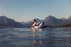
Apgar Village, Glacier National Park
22.1 miles NECampsites on the shores of Lake McDonald within Glacier National Park, with easy access to the Apgar Visitor Center, nature center, nearby hiking, and the western entrance to Going-to-the-Sun Road.
Camp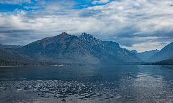
Fish Creek Campground
Glacier National Park
22.8 miles NEA 193-site Glacier National Park campground along Fish Creek, surrounded by pine and cedar forest, with mountain views, fire rings, and access to the Trail of the Cedars nearby.
Camp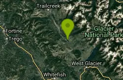
Logging Creek Campground
Glacier National Park
23.5 miles NEA first-come, first-served campground nestled in the Many Glacier area of Glacier National Park, with 49 sites and close access to the Grinnell Glacier and Swiftcurrent trails.
Camp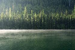
Quartz Creek Campground
Glacier National Park
24.4 miles NA peaceful 22-site campground in the heart of Glacier National Park, close to Going-to-the-Sun Road and a short hike from iconic Grinnell Glacier.
Camp
Jewel Basin
Kalispell, Montana
27.9 miles SEThe Jewel Basin Hiking Area packs 35 miles of hiker-only trail, two dozen alpine lakes, and the Mount Aeneas lookout into the Swan Range near Kalispell.
Backpack, Camp, Hike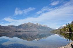
Sprague Campground
Glacier National Park
28.7 miles NEAn 85-site campground on the west side of Glacier National Park near Lake McDonald, with swimming, boating, fishing, wildlife viewing, and the Trail of the Cedars nearby.
Camp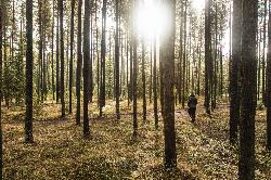
Bowman Lake Campground
Glacier National Park
31.6 miles NA stunning lakeside campground in the heart of Glacier National Park with 50+ campsites, bear-proof lockers, nearby hiking trails, and access to swimming, fishing, and paddling on Bowman Lake.
Camp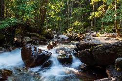
Avalanche Campground
Glacier National Park
33.9 miles NENestled on Glacier National Park's west side, Avalanche Campground puts 128 sites, flush toilets, and bear-proof storage right next to the Trail of the Cedars and the stunning Avalanche Lake hike.
Camp
Clements Mountain Trail
Logan Pass, Glacier National Park
38.5 miles NEA four-mile round-trip climb of Clements Mountain in Glacier National Park, with several routes of varying difficulty and significant elevation gain — often confused with nearby Reynolds Mountain.
Backpack, Camp, Hike, Rock Climb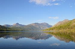
Kintla Campground
Glacier National Park
42.3 miles NA 26-site campground on the shores of Kintla Lake inside Glacier National Park — fire pits, bear boxes, vault toilets, and the Kintla Lake Trail at your doorstep.
Camp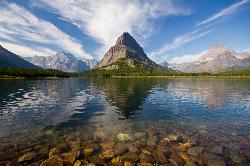
Many Glacier Campground
Many Glacier, Glacier National Park
44.0 miles NEMany Glacier Campground sits in what many visitors consider the most spectacular corner of Glacier National Park: the Many Glacier valley on the park's northeast side, cradled among towering peaks...
Camp 9.7 mi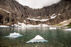
Iceberg Lake
Many Glacier, Glacier National Park
44.0 miles NENine miles of alpine trail deliver sweeping views of Ptarmigan Wall, Mount Grinnell, and Mount Wilbur before arriving at an iceberg-dotted cirque lake in Glacier NP.
Backpack, Camp, Hike 11.8 mi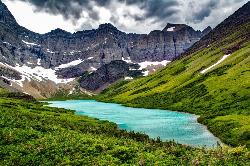
Cracker Lake Trail
Many Glacier, Glacier National Park
44.6 miles NEA 12.5-mile hike through forests and meadows to a surreal turquoise lake in the Many Glacier area — plan for two days to fully enjoy this bear-country gem.
Backpack, Camp, Hike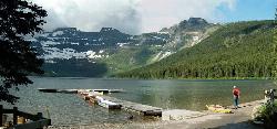
Cameron Lake
Waterton, Glacier National Park
46.0 miles NA picturesque Canadian glacial lake in Waterton Lakes National Park surrounded by mountain scenery, avalanche-sculpted shores, kayaking, fishing, and Herbst Glacier views.
Backpack, Camp, Hike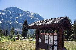
Rising Sun Campground
Glacier National Park
46.2 miles NEMore than 150 sites in eastern Glacier National Park close to Going-to-the-Sun Road, St. Mary's Falls and Red Rock Falls trails, and frequent bear, elk, and bighorn sightings.
Camp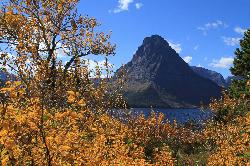
Two Medicine Campground
Glacier National Park
49.1 miles ETwo Medicine Campground lies in the quiet, dramatic southeast corner of Glacier National Park, on the shore of Two Medicine Lake beneath the sharp pyramid of Sinopah Mountain. About 13 miles up the...
Camp
Cut Bank Campground
Glacier National Park
49.8 miles EA peaceful forested campground along Cut Bank Creek in Glacier National Park with 48 first-come sites, nearby hiking trails, and access to fishing at St. Mary Lake.
Camp


