


Cut Bank Campground
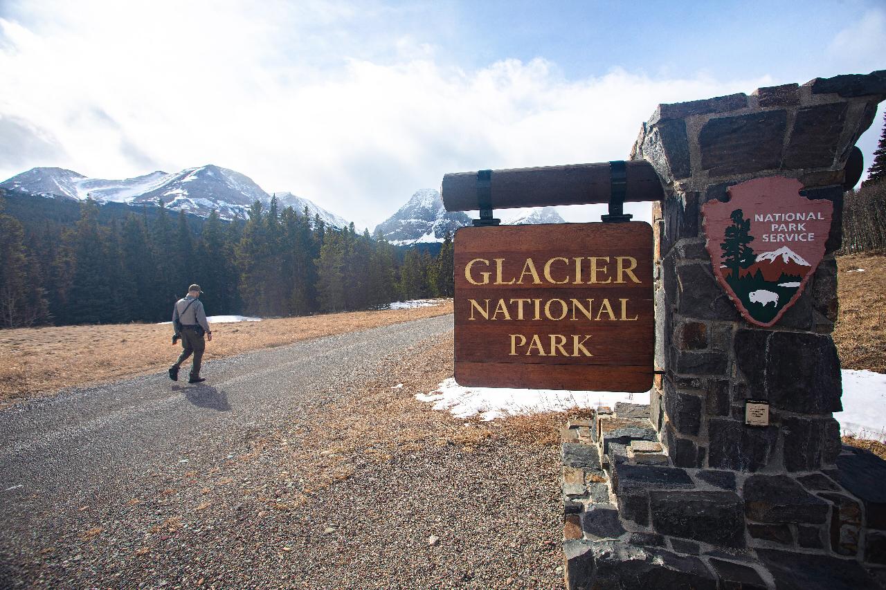
Glacier National Park
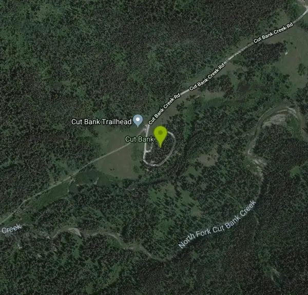
| Address: | Cut Bank, East Glacier Park, MT 59434, USA |
| GPS: |
48°36'7.0"N 113°22'59.0"W Maps | Directions |
| State: | Montana |
National Park
Camp
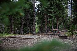
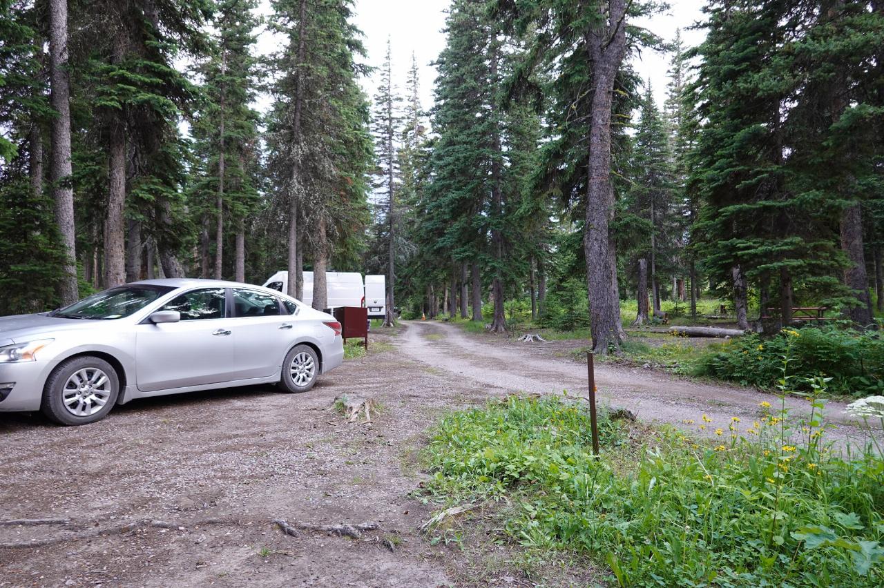
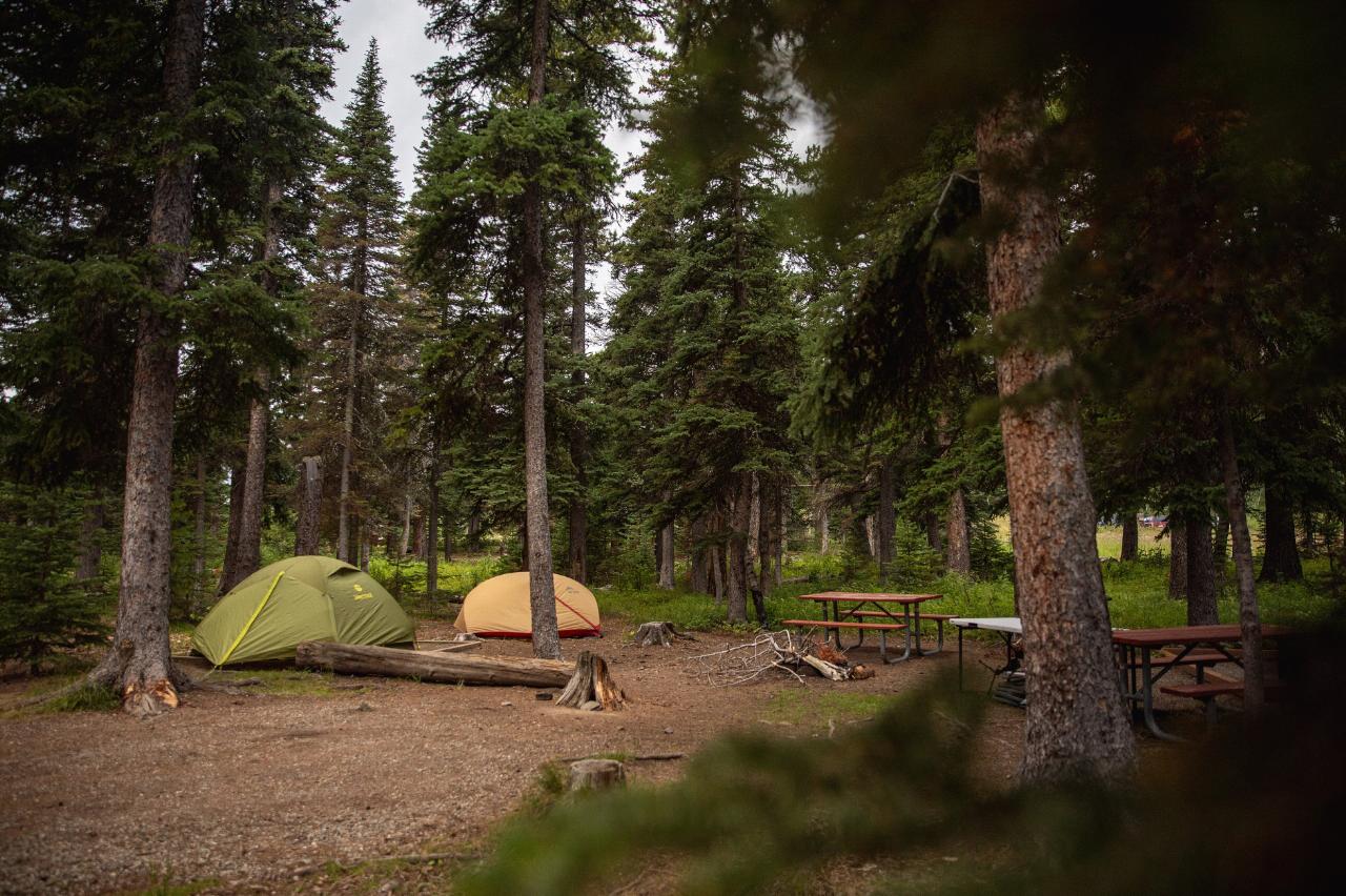
Cut Bank Campground is a small, quiet, primitive campground in a lesser-visited corner of Glacier National Park's east side, tucked into the forest along Cut Bank Creek at the end of a five-mile gravel road off U.S. Highway 89 between St. Mary and Two Medicine. Its out-of-the-way location keeps it peaceful and uncrowded, a favorite of hikers looking to escape the busier hubs.
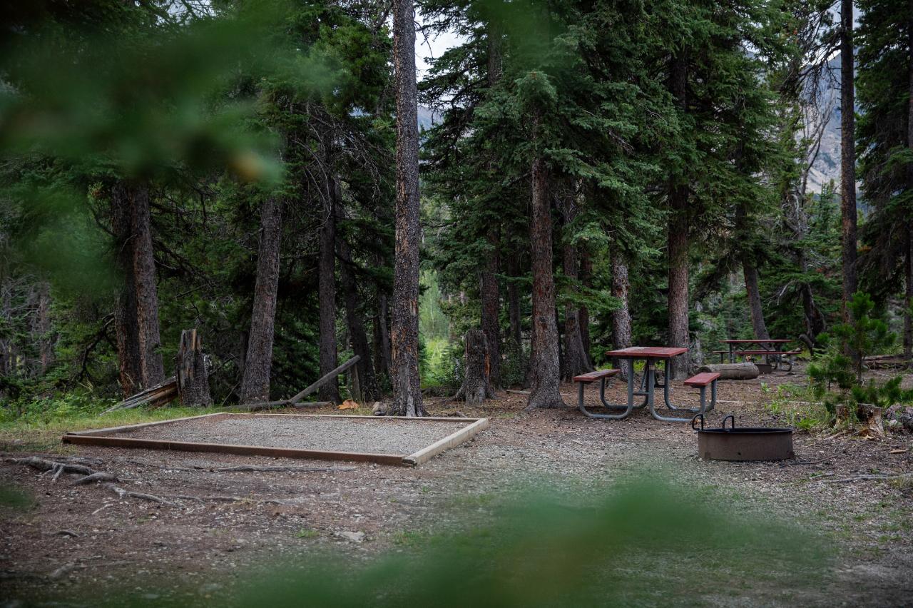
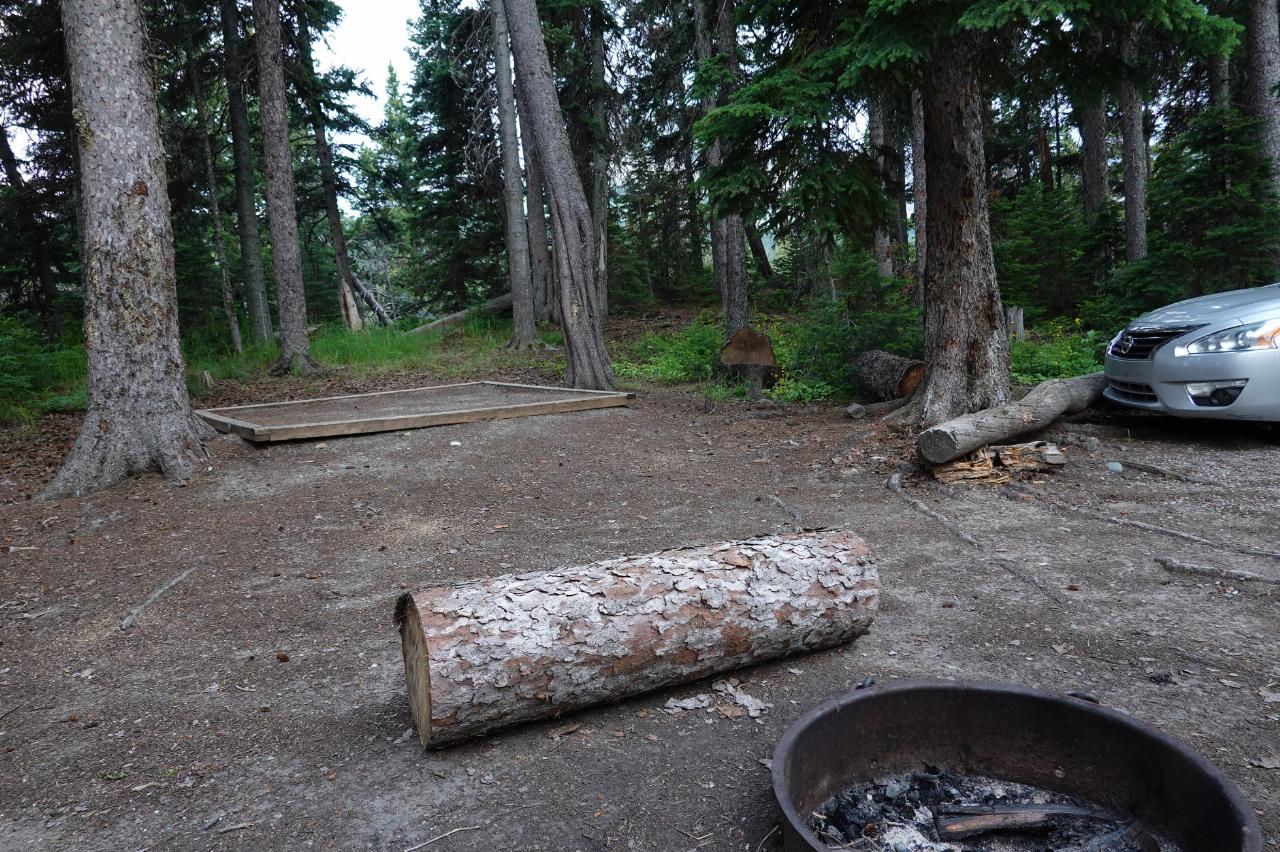
It has only about 14 first-come, first-served sites, with vault (pit) toilets and no drinking water, so campers must bring their own or be prepared to treat creek water; there are no hookups or other services. Sites have picnic tables and fire rings with grills. Because it is small and first-come only, an early arrival helps, though it fills less predictably than the marquee campgrounds.
What Cut Bank offers is access to a wild, scenic drainage and some outstanding hiking. From the trailhead here, routes climb into the heart of the park toward Triple Divide Pass, Pitamakan Pass and Morning Star Lake, linking into Glacier's high backcountry. Cut Bank Creek offers fishing, and the surrounding valley is excellent for solitude and wildlife. For campers who want a genuinely quiet base and a launching point for less-traveled east-side trails, Cut Bank is a rewarding choice.
More Information
Glacier National Park Itinerary
This Glacier National Park Itinerary will help you get started as you plan your vacation to Glacier National Park.
https://www.justgotravelstudios.com/collections/national-park-itineraries/products/glacier-national-park-itinerary?ref=9zpxis0diinCut Bank Ranger Station Historic District - Wikipedia
From Wikipedia, the free encyclopedia
https://en.wikipedia.org/wiki/Cut_Bank_Ranger_Station_Historic_DistrictGlacier National Park (U.S.) - Wikipedia
IUCN category II (national park)
https://en.wikipedia.org/wiki/Glacier_National_Park_(U.S.)Triple Divide Peak (Montana) - Wikipedia
Triple Divide Peak (8,025 feet or 2,446 metres) is located in the Lewis Range, part of the Rocky Mountains in North America. The peak is a feature of Glacier National Park in the state of Montana in the United States.[3] The summit of the peak, the hydrological apex of the North American continent, is the point where two of the principal continental divides in North America converge: the Continental Divide of the Americas and the Northern or Laurentian Divide.
https://en.wikipedia.org/wiki/Triple_Divide_Peak_(Montana)
- Plan Ahead and Prepare
- Travel & camp on durable surfaces
- Dispose of waste properly
- Leave what you find
- Minimize campfire impacts
- Respect wildlife
- Be considerate of other visitors
Directions
From Glacier National Park
- Head southwest on Cut Bank Creek Rd (1.0 mi)
- Turn leftDestination will be on the right(102 ft)

Other Arenas Nearby
Two Medicine Campground
Glacier National Park
7.7 miles STwo Medicine Campground lies in the quiet, dramatic southeast corner of Glacier National Park, on the shore of Two Medicine Lake beneath the sharp pyramid of Sinopah Mountain. About 13 miles up the...
Camp
Rising Sun Campground
Glacier National Park
9.0 miles NWMore than 150 sites in eastern Glacier National Park close to Going-to-the-Sun Road, St. Mary's Falls and Red Rock Falls trails, and frequent bear, elk, and bighorn sightings.
Camp
St. Mary Campground
Glacier National Park
10.7 miles NOver 200 campsites on the edge of Glacier National Park with flush toilets, showers, and quick access to Going-to-the-Sun Road, the Highline Trail, and St. Mary Lake.
Camp 0.6 mi
Baring Falls
Glacier National Park
11.0 miles NWA moderate trail hike in Glacier National Park to 30-foot Baring Falls dropping into crystal-clear water — with scenic mountain overlooks, wildlife, and an optional gorge viewpoint 1.5 miles beyond.
Hike 1.4-4.6 mi
St Mary and Virginia Falls
Rising Sun, Glacier National Park
11.4 miles NWA scenic 3.7-mile roundtrip hike past St. Mary Falls' 50-foot two-tiered drop to the upper and lower tiers of Virginia Falls, best in early season when snowmelt is rushing.
Hike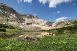
Siyeh Pass Trail
Logan Pass, Glacier National Park
14.7 miles NWA top-of-the-world point-to-point hike through Glacier's Preston Park meadows to a high pass with glacier views, mountain goats, and bighorn sheep.
Backpack, Hike
Clements Mountain Trail
Logan Pass, Glacier National Park
16.6 miles NWA four-mile round-trip climb of Clements Mountain in Glacier National Park, with several routes of varying difficulty and significant elevation gain — often confused with nearby Reynolds Mountain.
Backpack, Camp, Hike, Rock Climb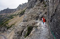
Highline Trail
Logan Pass, Glacier National Park
16.6 miles NWOne of Glacier National Park's most celebrated hikes — the Highline Trail spans alpine meadows, the Continental Divide, and the Garden Wall with mountain goats, wildflowers, and views to rival anything in the park.
Backpack, Hike 5.0 mi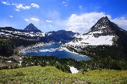
Hidden Lake
Glacier National Park
16.6 miles NWA 6.6-mile round-trip hike from Logan Pass through alpine meadows, dense forest, and rocky terrain to the crystal-clear waters of Hidden Lake, with bighorn sheep and mountain goats along the way.
Hike 11.8 mi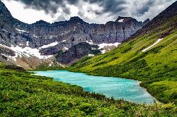
Cracker Lake Trail
Many Glacier, Glacier National Park
18.3 miles NWA 12.5-mile hike through forests and meadows to a surreal turquoise lake in the Many Glacier area — plan for two days to fully enjoy this bear-country gem.
Backpack, Camp, Hike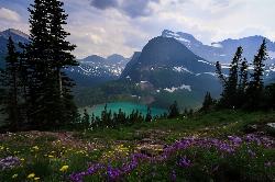
Grinnell Lake
Many Glacier, Glacier National Park
18.3 miles NWA 7.5-mile round-trip hike along glacier-fed subalpine lakes to a turquoise glacial lake in Glacier National Park — with a waterfall along the way and an optional ferry across Lake Josephine.
Hike, Swim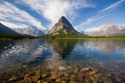
Many Glacier Campground
Many Glacier, Glacier National Park
19.0 miles NWMany Glacier Campground sits in what many visitors consider the most spectacular corner of Glacier National Park: the Many Glacier valley on the park's northeast side, cradled among towering peaks...
Camp 9.7 mi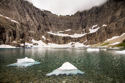
Iceberg Lake
Many Glacier, Glacier National Park
19.1 miles NWNine miles of alpine trail deliver sweeping views of Ptarmigan Wall, Mount Grinnell, and Mount Wilbur before arriving at an iceberg-dotted cirque lake in Glacier NP.
Backpack, Camp, Hike 10.5 mi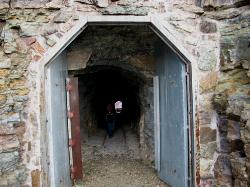
Ptarmigan Tunnel
Many Glacier, Glacier National Park
19.1 miles NWA long hike to a hand-carved 240-foot tunnel through the Ptarmigan Wall at Glacier National Park, opening to views of Seaward Mountain and Elizabeth Lake — open mid-July through early October.
Backpack, Hike 4.5 mi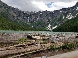
Avalanche Lake
Apgar Village, Glacier National Park
20.6 miles WHike near Apgar Village, Glacier National Park
Hike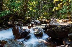
Avalanche Campground
Glacier National Park
20.6 miles WNestled on Glacier National Park's west side, Avalanche Campground puts 128 sites, flush toilets, and bear-proof storage right next to the Trail of the Cedars and the stunning Avalanche Lake hike.
Camp 0.9 mi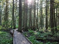
Trail of the Cedars
Apgar Village, Glacier National Park
20.6 miles WAn easy wheelchair-accessible loop through towering 500-year-old cedars up to 100 feet tall in Glacier National Park, with gorge views of glacial Avalanche Creek and a footbridge over the water.
Hike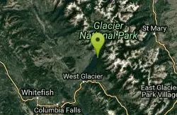
Glacier National Park
West Glacier, Montana
22.4 miles WSwim near West Glacier, Montana
Swim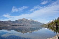
Sprague Campground
Glacier National Park
23.0 miles WAn 85-site campground on the west side of Glacier National Park near Lake McDonald, with swimming, boating, fishing, wildlife viewing, and the Trail of the Cedars nearby.
Camp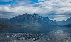
Fish Creek Campground
Glacier National Park
27.8 miles WA 193-site Glacier National Park campground along Fish Creek, surrounded by pine and cedar forest, with mountain views, fire rings, and access to the Trail of the Cedars nearby.
CampNearby Campsites
Two Medicine Campground
Glacier National Park
7.7 miles STwo Medicine Campground lies in the quiet, dramatic southeast corner of Glacier National Park, on the shore of Two Medicine Lake beneath the sharp pyramid of Sinopah Mountain. About 13 miles up the...
Camp
Rising Sun Campground
Glacier National Park
9.0 miles NWMore than 150 sites in eastern Glacier National Park close to Going-to-the-Sun Road, St. Mary's Falls and Red Rock Falls trails, and frequent bear, elk, and bighorn sightings.
Camp
St. Mary Campground
Glacier National Park
10.7 miles NOver 200 campsites on the edge of Glacier National Park with flush toilets, showers, and quick access to Going-to-the-Sun Road, the Highline Trail, and St. Mary Lake.
Camp
Clements Mountain Trail
Logan Pass, Glacier National Park
16.6 miles NWA four-mile round-trip climb of Clements Mountain in Glacier National Park, with several routes of varying difficulty and significant elevation gain — often confused with nearby Reynolds Mountain.
Backpack, Camp, Hike, Rock Climb 11.8 mi
Cracker Lake Trail
Many Glacier, Glacier National Park
18.3 miles NWA 12.5-mile hike through forests and meadows to a surreal turquoise lake in the Many Glacier area — plan for two days to fully enjoy this bear-country gem.
Backpack, Camp, Hike
Many Glacier Campground
Many Glacier, Glacier National Park
19.0 miles NWMany Glacier Campground sits in what many visitors consider the most spectacular corner of Glacier National Park: the Many Glacier valley on the park's northeast side, cradled among towering peaks...
Camp 9.7 mi
Iceberg Lake
Many Glacier, Glacier National Park
19.1 miles NWNine miles of alpine trail deliver sweeping views of Ptarmigan Wall, Mount Grinnell, and Mount Wilbur before arriving at an iceberg-dotted cirque lake in Glacier NP.
Backpack, Camp, Hike
Avalanche Campground
Glacier National Park
20.6 miles WNestled on Glacier National Park's west side, Avalanche Campground puts 128 sites, flush toilets, and bear-proof storage right next to the Trail of the Cedars and the stunning Avalanche Lake hike.
Camp
Sprague Campground
Glacier National Park
23.0 miles WAn 85-site campground on the west side of Glacier National Park near Lake McDonald, with swimming, boating, fishing, wildlife viewing, and the Trail of the Cedars nearby.
Camp
Fish Creek Campground
Glacier National Park
27.8 miles WA 193-site Glacier National Park campground along Fish Creek, surrounded by pine and cedar forest, with mountain views, fire rings, and access to the Trail of the Cedars nearby.
Camp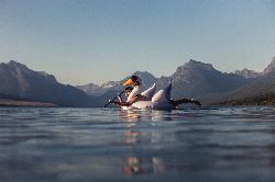
Apgar Campground
Apgar Village, Glacier National Park
28.0 miles WCampsites on the shores of Lake McDonald within Glacier National Park, with easy access to the Apgar Visitor Center, nature center, nearby hiking, and the western entrance to Going-to-the-Sun Road.
Camp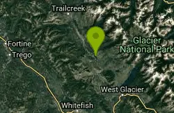
Logging Creek Campground
Glacier National Park
37.5 miles WA first-come, first-served campground nestled in the Many Glacier area of Glacier National Park, with 49 sites and close access to the Grinnell Glacier and Swiftcurrent trails.
Camp
Jewel Basin
Kalispell, Montana
38.9 miles SWThe Jewel Basin Hiking Area packs 35 miles of hiker-only trail, two dozen alpine lakes, and the Mount Aeneas lookout into the Swan Range near Kalispell.
Backpack, Camp, Hike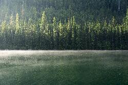
Quartz Creek Campground
Glacier National Park
39.2 miles WA peaceful 22-site campground in the heart of Glacier National Park, close to Going-to-the-Sun Road and a short hike from iconic Grinnell Glacier.
Camp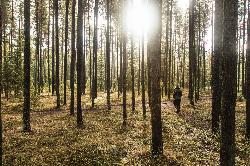
Bowman Lake Campground
Glacier National Park
40.4 miles NWA stunning lakeside campground in the heart of Glacier National Park with 50+ campsites, bear-proof lockers, nearby hiking trails, and access to swimming, fishing, and paddling on Bowman Lake.
Camp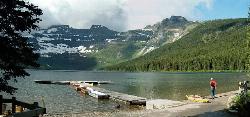
Cameron Lake
Waterton, Glacier National Park
41.6 miles NWA picturesque Canadian glacial lake in Waterton Lakes National Park surrounded by mountain scenery, avalanche-sculpted shores, kayaking, fishing, and Herbst Glacier views.
Backpack, Camp, Hike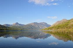
Kintla Campground
Glacier National Park
43.7 miles NWA 26-site campground on the shores of Kintla Lake inside Glacier National Park — fire pits, bear boxes, vault toilets, and the Kintla Lake Trail at your doorstep.
Camp


