


Big Hole Dispersed Campsites
Ririe, Idaho
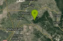
| Address: | Ririe, ID, USA |
| GPS: |
43°40'22.8"N 111°36'23.0"W Maps | Directions |
| State: | Idaho |
Camp
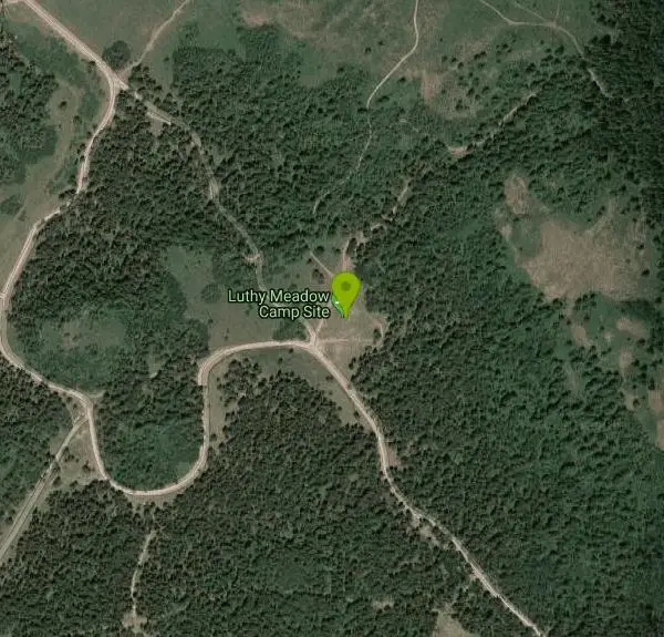
The Big Hole dispersed campsites are a scattering of informal, fire-ring camps in the Big Hole Mountains above Kelly Canyon, in the Caribou-Targhee National Forest east of Ririe, Idaho. There's no campground here in the usual sense, no host, no numbered sites, no reservations and no fees, just established spots with rock fire rings tucked into the timber and along the forest roads, taken first come, first served. For anyone who prefers their camping quiet, free and self-directed, it's one of the best options within easy reach of Idaho Falls.
The Big Hole range is the appeal. This is high, rolling, forested country with aspen and conifer, wildflowers through early summer, and a superb trail network threaded through it, including the Fish Creek trails and the Big Hole Crest route that draw mountain bikers from across eastern Idaho. Camping dispersed here means waking up already in the middle of it, with the Kelly Canyon area and the South Fork of the Snake close at hand.
Dispersed camping comes with real rules, and the Caribou-Targhee National Forest sets them out clearly. The Forest Service asks that campsites be at least 100 feet from streams or other water sources to protect water quality, and it applies a 14-day stay limit in any one spot within a 28-day period, after which campers must relocate at least five road miles to another dispersed area. Those aren't suggestions; they're the terms on which this kind of free camping continues to exist.
Leave No Trace matters more here than almost anywhere, precisely because there's no infrastructure to absorb mistakes. Everything packed in has to be packed out, existing fire rings should be used rather than new ones built, and human waste needs to be properly buried or carried out. Fire restrictions are common in late summer and worth checking before you strike a match.
Summer and early fall are the season, with the roads generally passable from roughly June into October depending on snow, and many of them are rough enough that high clearance is a comfort. There is no water, no toilet and no cell coverage.
Come completely self-sufficient: water for the whole trip, a shovel and a plan for waste, layers for cold mountain nights even in July, and a full tank. For free camping in beautiful country with world-class singletrack out the tent door, the Big Hole dispersed sites are hard to beat.
More Information
Caribou-Targhee National Forest | Dispersed Camping in Caribou-Targhee National Forest and Curlew Na
What is Dispersed Camping?Dispersed camping is a primitive, immersive way to experience the diverse landscapes of Caribou-Targhee National Forest and Curlew National Grassland. Unlike developed campgrounds, it involves setting up camp outside designated sites, offering solitude and a deeper connection to nature. With no amenities like water, restrooms, or trash services, campers must follow Leave No Trace principles, pack out all waste, and fully extinguish campfires to preserve these pristine environments.Where Can You Disperse Camp?
https://www.fs.usda.gov/r04/caribou-targhee/recreation/dispersed-camping-caribou-targhee-national-forest-and-curlew
- Plan Ahead and Prepare
- Travel & camp on durable surfaces
- Dispose of waste properly
- Leave what you find
- Minimize campfire impacts
- Respect wildlife
- Be considerate of other visitors
Directions
From Ririe, Idaho
- Head east on Smith St toward 1st E St (0.3 mi)
- Continue onto Archer Rd (5.8 mi)
- Slight right onto S 600 E (453 ft)
- Turn right at the 1st cross street onto E 7800 S (1.1 mi)
- Continue onto S 1600 E (0.2 mi)
- Keep left to continue on E 8000 S (2.6 mi)
- Continue onto Lyons Creek Rd (2.2 mi)
- Turn right (3.0 mi)
- Slight right (1.1 mi)
- Slight leftDestination will be on the left(0.3 mi)
Other Arenas Nearby
Bighole Mountains / Moody
Ririe, Idaho
0.5 miles SEWooded fields divided by two merging roads and a natural elevation change create a versatile unofficial airsoft and paintball area in the Big Hole Mountains.
Airsoft, Paintball 
Cranky Cowboy
Herbert, Idaho
0.6 miles NWMountain Bike near Herbert, Idaho
Mountain Bike 
Kelly Canyon Loops
Ririe, Idaho
1.1 miles SEA mountain bike network near Kelly Canyon Ski Area in Ririe, Idaho with panoramic summit views and multiple trail options including the Waterfall Loop, Fish Creek Loop, and alpine cow-path routes.
Mountain Bike 11.9 mi
Waterfall Loop
Ririe, Idaho
1.6 miles SEA mix of singletrack, forest road, and doubletrack near Kelly Canyon Ski Area in Idaho with about 1,400 feet of elevation change — GPS or a printed map is essential since signage is sparse.
Mountain Bike 2.1 mi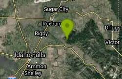
Batman
Ririe, Idaho
1.6 miles SWA rolling, short-and-steep singletrack fence-line trail with cow encounters and easy road-based connections to other rides near Ririe, Idaho.
Mountain Bike 1.7 mi
Randy's Cow Trail / Ken's Corner
Ririe, Idaho
1.6 miles SWA gradual, canopy-covered singletrack with tight corners and incredible forest smells — perfect for a leisurely ride up or a thrilling run down from Batman and Buckskin Morgan.
Mountain Bike 0.5-3.5 mi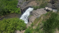
Webster's Dam
Ririe, Idaho
1.7 miles NAn abandoned dam in Moody Creek canyon where sediment split the stream into two beautiful 15-foot waterfalls — stunning in spring runoff and blazing with fall colors.
Camp, Hike, Mountain Bike 1.7 mi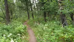
Buckskin Morgan Ridge
Ririe, Idaho
2.1 miles SA punchy climb to Buckskin Morgan Ridge pays off with twisty singletrack descents through roots, loose rock, and rolling hills above the Snake River Plain.
Hike, Mountain Bike 5.7-8.1 mi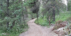
Space Cruz
Ririe, Idaho
2.1 miles SFlowy singletrack connecting to ATV trails with great berms, small jumps, and a thistle patch best attacked at speed — just watch out for cows at the junctions.
Cross-country Ski, Mountain Bike 1.1 mi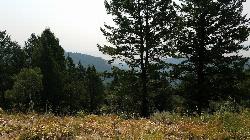
Hidden Vista / Pine Loop
Ririe, Idaho
2.1 miles SA short singletrack trail to a canyon overlook with Snake River views — then a detour east for fun climbs, turns, rocks, and jumps on the way back to the Buckskin Morgan parking lot.
Hike, Mountain Bike 0.6-2.2 mi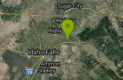
Fish Creek Area
Ririe, Idaho
2.2 miles EThe Big Hole Mountains' Fish Creek trail network serves up singletrack climbs, floater jumps, rock gardens, and fast Fishbone descents accessed from Ririe or Rexburg.
Hike, Mountain Bike 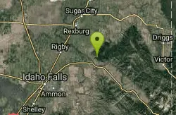
Kelly Canyon
Ririe, Idaho
2.3 miles SWA switchback climb up Kelly Mountain with two brief red-line efforts, the infamous Shale Chute descent, and possible company from motorcycles or cows — a short, decent ride.
Mountain Bike 3.8 mi
Kelly Mountain Trail
Ririe, Idaho
2.4 miles SA moderate uphill trail open to hikers, mountain bikers, and ATVs, winding through hills with wildflower and mountain views — dogs welcome on leash.
Cross-country Ski, Hike, Mountain Bike, Snowshoe 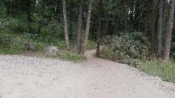
Poison Flats
Ririe, Idaho
2.8 miles SPoison Flats is a quiet stretch of the Caribou-Targhee National Forest high country in the hills above Kelly Canyon near Ririe, in the popular recreation country east of Idaho Falls. Part of the same...
Hike 
Lower Hawley Gulch Trail
Ririe, Idaho
3.0 miles SA mostly flat intermediate singletrack through forest and fields in Ririe, Idaho — expect fallen logs, small ponds, rocky stretches, and creek crossings before connecting to a shared ATV doubletrack.
Mountain Bike 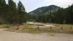
Table Rock Campground
Ririe, Idaho
3.1 miles SA campground in Caribou-Targhee National Forest — part of a 3-million-acre stretch from Montana to the Utah and Wyoming borders — with access to the Curlew National Grassland.
Camp 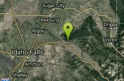
Kelly Canyon/Table Rock
Ririe, Idaho
3.1 miles STwisty, root-and-rock singletrack near Ririe with enough challenge on the climb and enough air on the descent to keep things interesting.
Mountain Bike 3.0 mi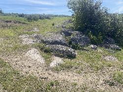
Biting Goat Trail
Ririe, Idaho
3.1 miles WA revived 2022 trail with a bit of everything — doubletrack bombing, aspen-grove weaving, clifftop rock features, and some fun rock rolls — with cows still sharing the path.
Mountain Bike 1.8 mi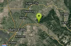
Crystal Cruise
Ririe, Idaho
3.1 miles SA climb along the Crystal Cruise Nordic Trail to Kelly Canyon ski resort — best used as a connector from Sidewinder into the Kelly Canyon trail system.
Mountain Bike 
Paramount Wall / Blanche Rock
Ririe, Idaho
3.3 miles SWA sport climbing wall above the road near Ririe with great exposure, afternoon shade, and well-loved 5.9–5.10 lines — most routes work with a 50-meter rope, established by Chuck Oddette and crew.
Camp, Horseback, Rock Climb
Nearby Campsites
Webster's Dam
Ririe, Idaho
1.7 miles NAn abandoned dam in Moody Creek canyon where sediment split the stream into two beautiful 15-foot waterfalls — stunning in spring runoff and blazing with fall colors.
Camp, Hike, Mountain Bike
Table Rock Campground
Ririe, Idaho
3.1 miles SA campground in Caribou-Targhee National Forest — part of a 3-million-acre stretch from Montana to the Utah and Wyoming borders — with access to the Curlew National Grassland.
Camp
Paramount Wall / Blanche Rock
Ririe, Idaho
3.3 miles SWA sport climbing wall above the road near Ririe with great exposure, afternoon shade, and well-loved 5.9–5.10 lines — most routes work with a 50-meter rope, established by Chuck Oddette and crew.
Camp, Horseback, Rock Climb 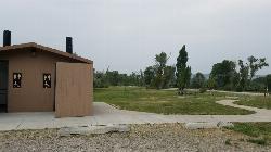
Kelly Island Campground
Ririe, Idaho
4.4 miles SWA BLM campground with 14 family sites and 1 group site for RVs or tents, open May through September — vault toilets, pets welcome, and rates from $5–$20 per night.
Camp 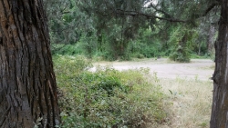
Wolf Flats Recreation Area
Ririe, Idaho
5.1 miles SWolf Flats Recreation Area is a free, undeveloped camping area strung along the South Fork of the Snake River in the canyon country east of Idaho Falls, and it's a longtime favorite of eastern Idaho...
Camp 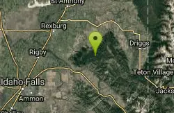
Moody Meadows
Driggs, Idaho
7.1 miles EGood place for kids, they can ride bikes in the meadow, play in the stream, and camping is off of the road. Hiking, motorbiking, and horseback riding trails are abundant in the area.
Camp 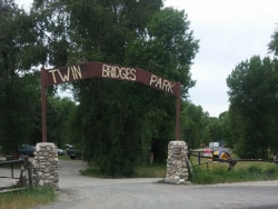
Twin Bridges Park
Rexburg, Idaho
7.9 miles WA 27-acre Snake River park between two bridges near Rexburg with shaded campsites, fire pits, pavilions, a playground, and BLM ground for hiking and hunting on three sides.
Camp, Canoe 0.2-0.5 mi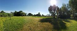
Eagle Park
Rexburg, Idaho
14.7 miles NWA cottonwood forest park inside Rexburg city limits with campsites, fishing, a dog park, mountain biking on easy and moderate loops, and rock-throwing by the river.
Camp, Hike, Mountain Bike, Sled 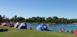
Jefferson County Lake (AKA Rigby Lake)
Rigby, Idaho
14.9 miles WSandy beaches, two floating docks with a slide, volleyball, playgrounds, and a safe swim zone — Jefferson County Lake is eastern Idaho's go-to summer swimming spot.
Camp, Canoe, Dive, Kayak, Sled, Swim 
Beaver Dick Park
Rexburg, Idaho
18.3 miles NWA 9.5-acre Snake River park near Rexburg with fire pits, pavilions, fishing, boating, swimming, and a rich history tied to legendary frontiersman Beaver Dick Leigh.
Camp, Canoe, Disc Golf, Swim 0.8-1.3 mi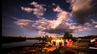
Warm Slough Campground
Rexburg, Idaho
18.9 miles NWA popular river campground with two boat ramps and an easy, slow-moving inner tube float — the take-out is 1,000 feet from the put-in, making multiple runs a breeze.
Airsoft, Camp, Canoe 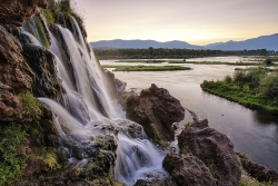
Fall Creek Falls
Swan Valley, Idaho
19.7 miles SEA shaded Snake River campground near Swan Valley with abundant wildlife, great trout fishing, and Fall Creek Falls a quarter-mile away.
Camp, Cave, Hike, Kayak, Swim 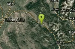
Falls Campground
Victor, Idaho
20.6 miles SEA Snake River campground near Swan Valley with cottonwood shade, abundant wildlife — eagles, osprey, moose, and deer — and Fall Creek Falls just a quarter mile away; Palisades Reservoir is 20 miles out.
Camp 0.6-2.0 mi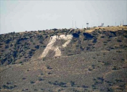
North Menan Butte ('R' Mountain)
Menan, Idaho
20.7 miles WA volcanic butte locals call R Mountain, with a paved trailhead, chain handrails near the top, informational signs at the rim, and views of Rexburg and the Snake River.
Camp, Cave, Hike 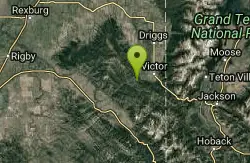
Pine Creek Campground
Victor, Idaho
21.2 miles EThe Pine Creek Campground has 10 single units and has restrooms.
Camp 2.8-4.1 mi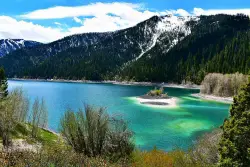
Palisades Creek Trail / Lakes and Waterfall Canyon
Irwin, Idaho
27.4 miles SESpectacular mountain views, two landslide-formed alpine lakes, and mountain goat sightings — all within a 4-to-6-mile hike in the Swan Valley wilderness.
Backpack, Camp, Hike, Horseback, Mountain Bike 
Mike Harris Campground
Victor, Idaho
28.1 miles EA scenic mountain campground at 6,200 feet along Teton Pass just 5 miles from Victor, Idaho — a peaceful base for fishing, trail exploring, and sightseeing in the Teton region.
Camp 
Darby Canyon Camping
Alta, Wyoming
29.3 miles EDispersed campsites with fire lays in scenic Darby Canyon — no official campground, just established spots in Wyoming wilderness. Leave No Trace and use existing rings only.
Camp 
Calamity Campground
Irwin, Idaho
31.0 miles SEA wooded Palisades Reservoir campground 55 miles east of Idaho Falls with clean blue water for swimming, boating, water skiing, and fishing — plus miles of ATV routes.
Camp, Canoe, Hike, Kayak, Mountain Bike, Swim 
Sealander Park
Idaho Falls, Idaho
32.4 miles SWA peaceful 15-acre park steeped in Idaho homesteader history — listed on the National Register of Historic Places, Sealander Park is available to reserve for picnics, reunions, weddings, and retreats.
Camp


