


Running Eagle Falls
East Glacier Park
Hike and Swim
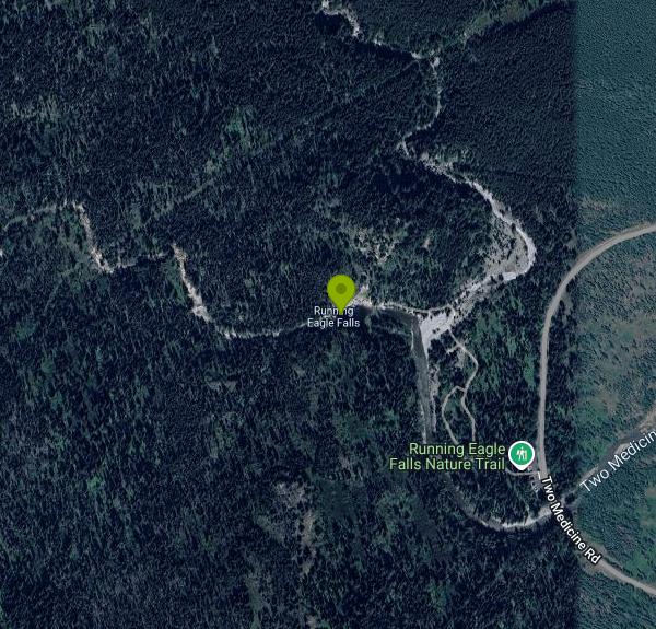
Running Eagle Falls sits in the Two Medicine area of Glacier National Park, about ten miles up the Two Medicine Road from the MT-49 junction near East Glacier Park. The National Park Service manages it. Two Medicine Creek drops over a limestone lip here into a rock basin, and the trailhead lot, restrooms and information kiosk are all right off the road, which makes this one of the easiest waterfalls to reach in the entire park.
Getting in costs the standard Glacier entrance fee. A private vehicle is 35 dollars and the pass is good for seven days, dropping to 25 dollars in winter from November 1 through April 30. A motorcycle is 30 dollars, 20 in winter. Walking or biking in is 20 dollars per person, 15 in winter. The Glacier Annual Pass is 70 dollars and is valid for one year from the month of entry. An America the Beautiful annual pass is 80 dollars for residents. No vehicle reservations are required in any area of the park in 2026.
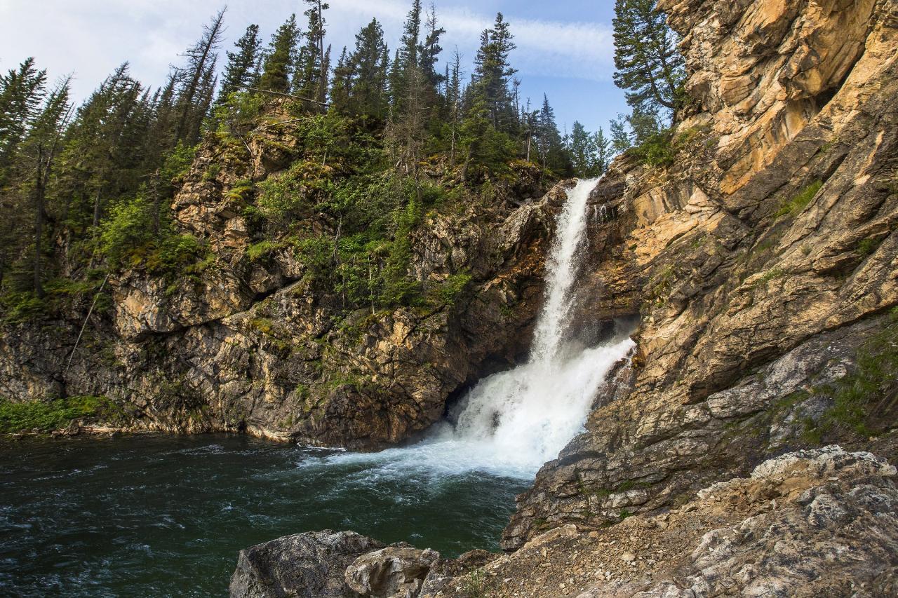
The walk to the falls is 0.3 miles one way, gaining 47 feet and losing 8, essentially level. The Park Service rates it wheelchair accessible up to a viewing area of the falls, but not past the creek. A separate Running Eagle Falls Nature Trail loops 0.7 miles from the same trailhead with ten interpretive stops on native plants and how people here used them for food, fuel and other resources.
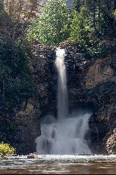
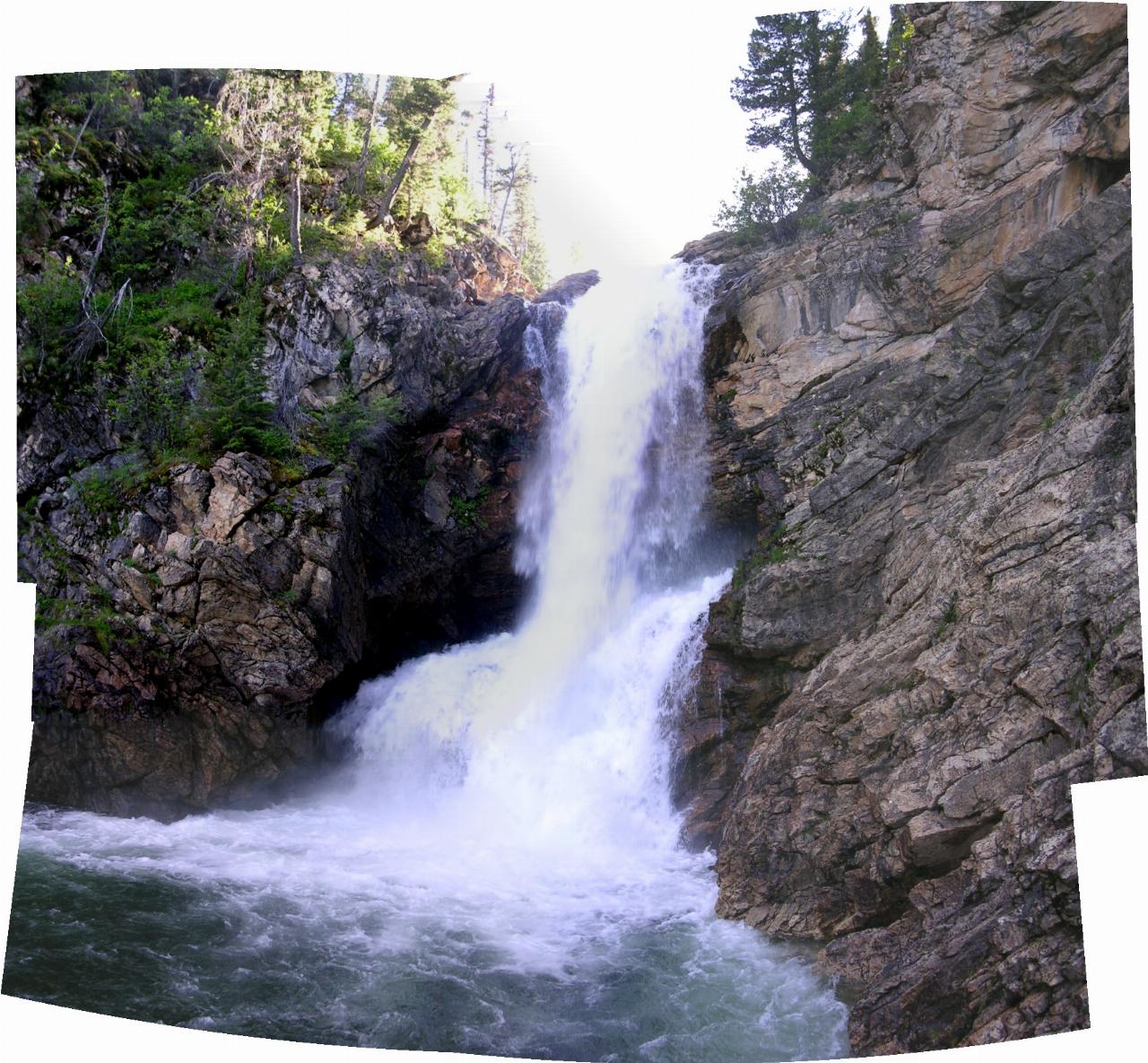
The falls has two outlets, which is why older maps call it Trick Falls. Glacier National Park describes it this way in its own photo captions: early in the season when there is more water flowing, it cascades from both over the top of the cliff and also from the middle of the rock face. As snowmelt tapers through summer the upper curtain thins out or quits, and the lower jet blasting out of the cliff is all that is left. In a good spring you can see both streams running, one behind the other.
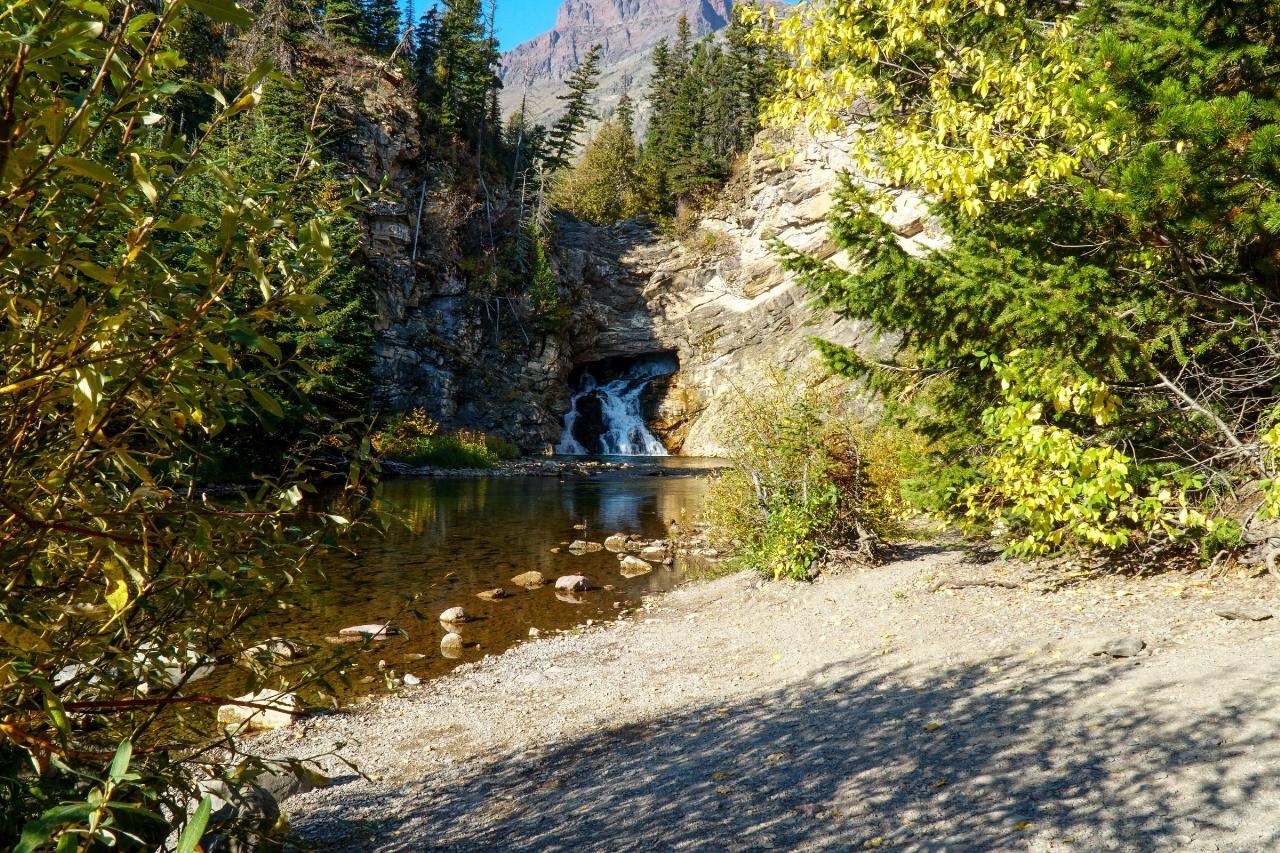
Now the honest part. This is a waterfall you look at, not a swimming hole. The Park Service says water is the number one cause of fatalities in Glacier National Park, tells visitors to avoid wading in or fording swift streams, and warns never to walk, play or climb on slippery rocks and logs, especially around waterfalls. Waterfalls run hardest during spring snowmelt. The water is cold enough that sudden immersion can trigger the mammalian diving reflex. On May 4, 2016 a 26 year old man jumped into the shallow pool at Running Eagle Falls and died of his injuries. Park rangers responded and the park reminded visitors to use caution around all water features. People do pick their way down to the gravel and the creek edge below the falls on a warm August afternoon, and shin-deep wading happens there, but the pool is shallow, the rock is slick, and nobody should be jumping into it.
The name carries the English form of Pi'tamaka, Running Eagle, a Piikani (Piegan Blackfeet) warrior born Brown Weasel Woman who earned the name from a chief as a mark of respect. The Park Service biography of her also notes Pitamakan Lake in the park is named for her. The Two Medicine valley is held sacred by the Blackfeet and was used for vision quests, and the Blackfeet Indian Reservation boundary runs right past the Two Medicine entrance station. A widely retold story places her vision near this waterfall, though the Park Service page about her does not say so.
This is grizzly country. Carry bear spray, know how to use it, and make noise even on a short paved trail. Seasonal access is the other catch. The Two Medicine Road is in a multi-year rehabilitation project, and in 2026 the road closes at the Running Eagle Falls Trailhead or the park boundary outside the concessioner operating window of May 29 through September 7, with the Two Medicine Campground closed all year. Check current conditions before you drive out. Parking is a modest paved lot with auto and bus or RV spaces that fills up on summer middays.
More Information
2026 Construction Updates in Glacier National Park - Glacier National Park (U.S. National Park Servi
WEST GLACIER, Mont. [February 12, 2026] – Glacier National Park reminds visitors of current and upcoming construction projects happening in the park.
https://www.nps.gov/glac/learn/news/2026-construction-updates-in-glacier-national-park.htmMan Fatally Injured in Jump from Running Eagle Falls - Glacier National Park (U.S. National Park Ser
Man Fatally Injured in Jump from Running Eagle Falls
https://www.nps.gov/glac/learn/news/media16-21.htmRunning Eagle Falls Nature Trail (U.S. National Park Service)
Running Eagle Falls Nature Trail
https://www.nps.gov/places/running-eagle-falls-nature-trail.htmRunning Eagle Falls Trailhead (U.S. National Park Service)
Running Eagle Falls Trailhead
https://www.nps.gov/places/running-eagle-falls-trailhead.htmTwo Medicine Valley Trails - Destinations and Elevation Change
Two Medicine Valley Trails - Destinations and Elevation Change National Park Service
https://www.nps.gov/glac/planyourvisit/upload/Two-Medicine.pdfBe courteous, informed, and prepared. Read trailhead guidelines, stay on the trail, and don't feed the wildlife.
Read More
- Plan Ahead and Prepare
- Travel & camp on durable surfaces
- Dispose of waste properly
- Leave what you find
- Minimize campfire impacts
- Respect wildlife
- Be considerate of other visitors
Directions
From East Glacier Park
- Head south on Montana Scenic Loop toward Glacier County Rte 203 (10 ft)
- Turn right onto MT-49 N/
Glacier County Rte 203 (4.1 mi) - Turn left onto Two Medicine Rd (5.1 mi)
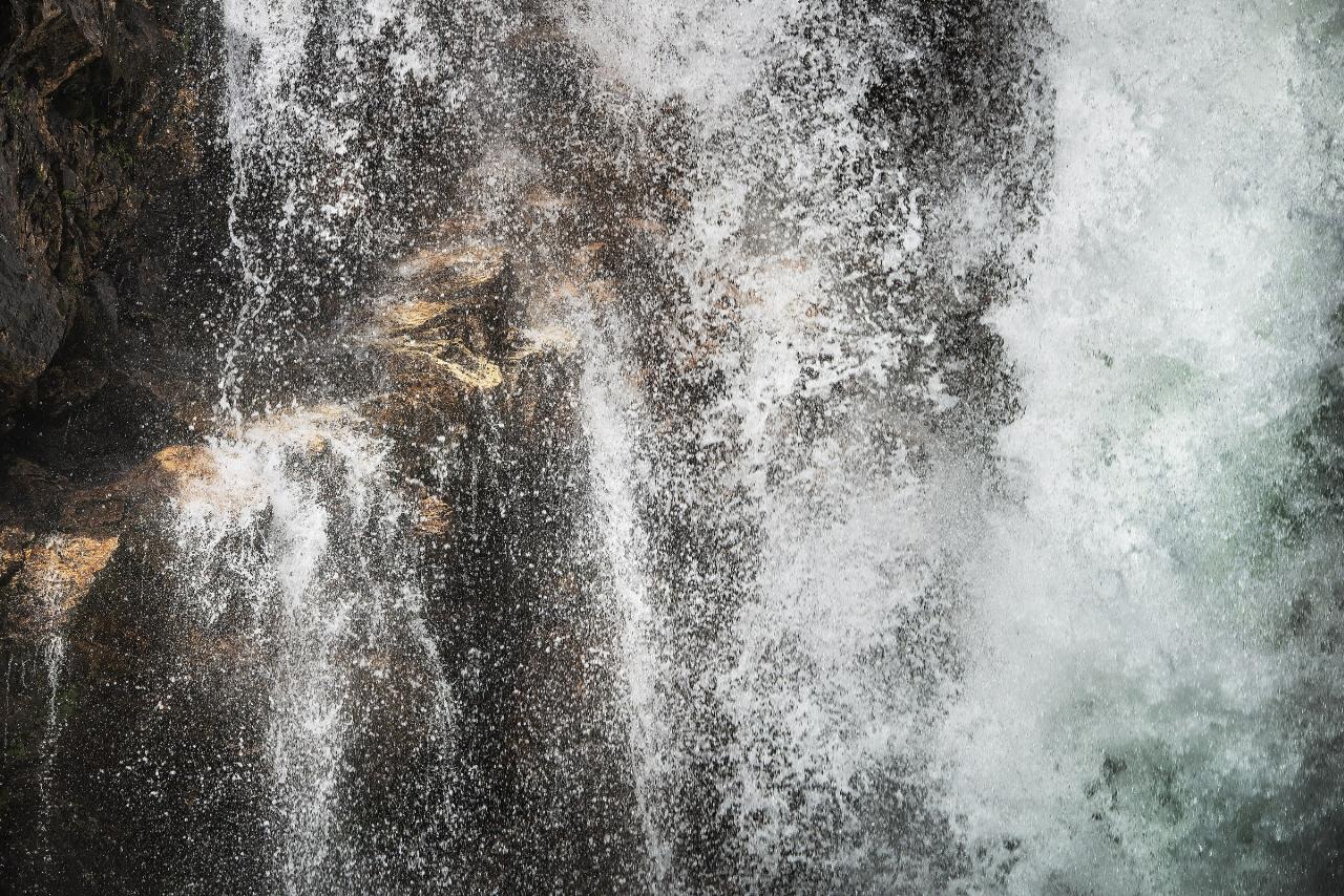
 Running Eagle Falls in the Two Medicine valley of Glacier National Park courtesy of GlacierNPS↗ (Public domain↗)
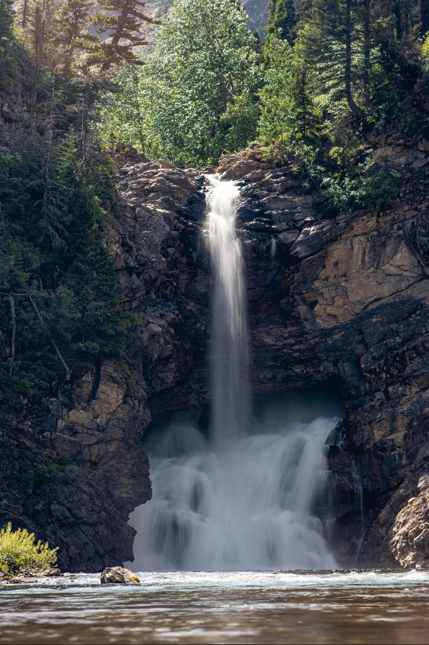
 Spring snowmelt thundering over the upper lip of Running Eagle Falls courtesy of GlacierNPS↗ (Public domain↗)
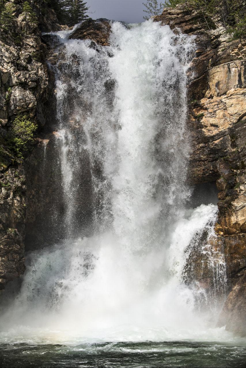
 Closer view of water pouring from the middle of the rock face courtesy of GlacierNPS↗ (Public domain↗)
 Panorama showing both streams of water one behind the other courtesy of No machine-readable author provided. Smack assumed (based on copyright claims).↗ (Public domain↗)
 Shoreline of Two Medicine Creek below the falls courtesy of GlacierNPS↗ (Public domain↗)
 Running Eagle Falls seen from the end of the accessible trail courtesy of GlacierNPS↗ (Public domain↗)
Other Swimming Holes and Hiking Trails Nearby
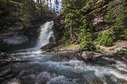
Baring Falls
Glacier National Park
16.7 miles NWA moderate trail hike in Glacier National Park to 30-foot Baring Falls dropping into crystal-clear water — with scenic mountain overlooks, wildlife, and an optional gorge viewpoint 1.5 miles beyond.
Hike 1.4-4.6 mi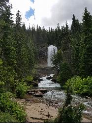
St Mary and Virginia Falls
Rising Sun, Glacier National Park
16.9 miles NWA scenic 3.7-mile roundtrip hike past St. Mary Falls' 50-foot two-tiered drop to the upper and lower tiers of Virginia Falls, best in early season when snowmelt is rushing.
Hike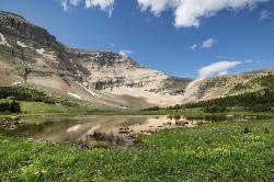
Siyeh Pass Trail
Logan Pass, Glacier National Park
20.1 miles NWA top-of-the-world point-to-point hike through Glacier's Preston Park meadows to a high pass with glacier views, mountain goats, and bighorn sheep.
Backpack, Hike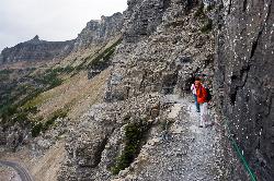
Highline Trail
Logan Pass, Glacier National Park
21.5 miles NWOne of Glacier National Park's most celebrated hikes — the Highline Trail spans alpine meadows, the Continental Divide, and the Garden Wall with mountain goats, wildflowers, and views to rival anything in the park.
Backpack, Hike
Clements Mountain Trail
Logan Pass, Glacier National Park
21.6 miles NWA four-mile round-trip climb of Clements Mountain in Glacier National Park, with several routes of varying difficulty and significant elevation gain — often confused with nearby Reynolds Mountain.
Backpack, Camp, Hike, Rock Climb 5.0 mi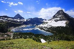
Hidden Lake
Glacier National Park
21.6 miles NWA 6.6-mile round-trip hike from Logan Pass through alpine meadows, dense forest, and rocky terrain to the crystal-clear waters of Hidden Lake, with bighorn sheep and mountain goats along the way.
Hike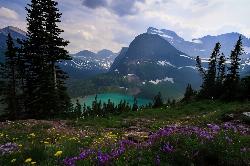
Grinnell Lake
Many Glacier, Glacier National Park
24.3 miles NWA 7.5-mile round-trip hike along glacier-fed subalpine lakes to a turquoise glacial lake in Glacier National Park — with a waterfall along the way and an optional ferry across Lake Josephine.
Hike, Swim 4.5 mi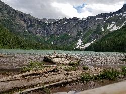
Avalanche Lake
Apgar Village, Glacier National Park
24.7 miles NWHike near Apgar Village, Glacier National Park
Hike 11.8 mi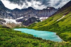
Cracker Lake Trail
Many Glacier, Glacier National Park
24.8 miles NWA 12.5-mile hike through forests and meadows to a surreal turquoise lake in the Many Glacier area — plan for two days to fully enjoy this bear-country gem.
Backpack, Camp, Hike 0.9 mi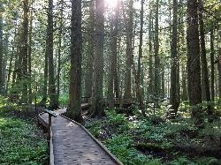
Trail of the Cedars
Apgar Village, Glacier National Park
24.8 miles NWAn easy wheelchair-accessible loop through towering 500-year-old cedars up to 100 feet tall in Glacier National Park, with gorge views of glacial Avalanche Creek and a footbridge over the water.
Hike
Glacier National Park
West Glacier, Montana
25.3 miles WSwim near West Glacier, Montana
Swim 9.7 mi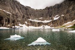
Iceberg Lake
Many Glacier, Glacier National Park
25.5 miles NWNine miles of alpine trail deliver sweeping views of Ptarmigan Wall, Mount Grinnell, and Mount Wilbur before arriving at an iceberg-dotted cirque lake in Glacier NP.
Backpack, Camp, Hike 10.5 mi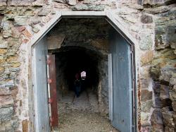
Ptarmigan Tunnel
Many Glacier, Glacier National Park
25.5 miles NWA long hike to a hand-carved 240-foot tunnel through the Ptarmigan Wall at Glacier National Park, opening to views of Seaward Mountain and Elizabeth Lake — open mid-July through early October.
Backpack, Hike
Lion Lake
Hungry Horse
32.5 miles WLion Lake is a free Flathead National Forest day-use lake just south of Hungry Horse, with swimming, paddling and fishing off two picnic sites. No lifeguards, no drinking water, open sunrise to sunset.
Canoe, Kayak, Swim
Jewel Basin
Kalispell, Montana
34.8 miles SWThe Jewel Basin Hiking Area packs 35 miles of hiker-only trail, two dozen alpine lakes, and the Mount Aeneas lookout into the Swan Range near Kalispell.
Backpack, Camp, Hike
Harry Harm Park
Bigfork, Montana
45.3 miles SWHike near Bigfork, Montana
Hike
Cameron Lake
Waterton, Glacier National Park
47.7 miles NWA picturesque Canadian glacial lake in Waterton Lakes National Park surrounded by mountain scenery, avalanche-sculpted shores, kayaking, fishing, and Herbst Glacier views.
Backpack, Camp, HikeNearby Campsites
Two Medicine Campground
Glacier National Park
0.7 miles SWTwo Medicine Campground lies in the quiet, dramatic southeast corner of Glacier National Park, on the shore of Two Medicine Lake beneath the sharp pyramid of Sinopah Mountain. About 13 miles up the...
Camp
Cut Bank Campground
Glacier National Park
7.3 miles NA peaceful forested campground along Cut Bank Creek in Glacier National Park with 48 first-come sites, nearby hiking trails, and access to fishing at St. Mary Lake.
Camp
Rising Sun Campground
Glacier National Park
15.7 miles NWMore than 150 sites in eastern Glacier National Park close to Going-to-the-Sun Road, St. Mary's Falls and Red Rock Falls trails, and frequent bear, elk, and bighorn sightings.
Camp
St. Mary Campground
Glacier National Park
18.0 miles NOver 200 campsites on the edge of Glacier National Park with flush toilets, showers, and quick access to Going-to-the-Sun Road, the Highline Trail, and St. Mary Lake.
Camp
Clements Mountain Trail
Logan Pass, Glacier National Park
21.6 miles NWA four-mile round-trip climb of Clements Mountain in Glacier National Park, with several routes of varying difficulty and significant elevation gain — often confused with nearby Reynolds Mountain.
Backpack, Camp, Hike, Rock Climb
Avalanche Campground
Glacier National Park
24.7 miles NWNestled on Glacier National Park's west side, Avalanche Campground puts 128 sites, flush toilets, and bear-proof storage right next to the Trail of the Cedars and the stunning Avalanche Lake hike.
Camp 11.8 mi
Cracker Lake Trail
Many Glacier, Glacier National Park
24.8 miles NWA 12.5-mile hike through forests and meadows to a surreal turquoise lake in the Many Glacier area — plan for two days to fully enjoy this bear-country gem.
Backpack, Camp, Hike
Many Glacier Campground
Many Glacier, Glacier National Park
25.4 miles NWMany Glacier Campground sits in what many visitors consider the most spectacular corner of Glacier National Park: the Many Glacier valley on the park's northeast side, cradled among towering peaks...
Camp
Sprague Campground
Glacier National Park
25.5 miles WAn 85-site campground on the west side of Glacier National Park near Lake McDonald, with swimming, boating, fishing, wildlife viewing, and the Trail of the Cedars nearby.
Camp 9.7 mi
Iceberg Lake
Many Glacier, Glacier National Park
25.5 miles NWNine miles of alpine trail deliver sweeping views of Ptarmigan Wall, Mount Grinnell, and Mount Wilbur before arriving at an iceberg-dotted cirque lake in Glacier NP.
Backpack, Camp, Hike
Apgar Campground
Apgar Village, Glacier National Park
29.0 miles WCampsites on the shores of Lake McDonald within Glacier National Park, with easy access to the Apgar Visitor Center, nature center, nearby hiking, and the western entrance to Going-to-the-Sun Road.
Camp
Fish Creek Campground
Glacier National Park
29.2 miles WA 193-site Glacier National Park campground along Fish Creek, surrounded by pine and cedar forest, with mountain views, fire rings, and access to the Trail of the Cedars nearby.
Camp
Jewel Basin
Kalispell, Montana
34.8 miles SWThe Jewel Basin Hiking Area packs 35 miles of hiker-only trail, two dozen alpine lakes, and the Mount Aeneas lookout into the Swan Range near Kalispell.
Backpack, Camp, Hike
Logging Creek Campground
Glacier National Park
40.7 miles WA first-come, first-served campground nestled in the Many Glacier area of Glacier National Park, with 49 sites and close access to the Grinnell Glacier and Swiftcurrent trails.
Camp
Quartz Creek Campground
Glacier National Park
42.7 miles WA peaceful 22-site campground in the heart of Glacier National Park, close to Going-to-the-Sun Road and a short hike from iconic Grinnell Glacier.
Camp
Bowman Lake Campground
Glacier National Park
44.9 miles NWA stunning lakeside campground in the heart of Glacier National Park with 50+ campsites, bear-proof lockers, nearby hiking trails, and access to swimming, fishing, and paddling on Bowman Lake.
Camp
Cameron Lake
Waterton, Glacier National Park
47.7 miles NWA picturesque Canadian glacial lake in Waterton Lakes National Park surrounded by mountain scenery, avalanche-sculpted shores, kayaking, fishing, and Herbst Glacier views.
Backpack, Camp, Hike
Kintla Campground
Glacier National Park
49.3 miles NWA 26-site campground on the shores of Kintla Lake inside Glacier National Park — fire pits, bear boxes, vault toilets, and the Kintla Lake Trail at your doorstep.
Camp


