


The Arcane
Ririe, Idaho

| Address: | Burns Creek Rd, Ririe, ID 83443, USA |
| GPS: |
43°36'23.3"N 111°30'47.0"W Maps | Directions |
| State: | Idaho |
Rock Climb
The Arcane is a rugged rock-climbing crag in the canyon country of eastern Idaho, up the South Fork Snake River drainage past Heise and the Kelly Canyon area, roughly 23 miles from Idaho Falls. A quieter, off-the-beaten-path destination for climbers, it offers a handful of quality routes in a wild, scenic river-canyon setting.
The crag is known among East Idaho climbers for its concentration of routes and a distinctive cave feature set up the hillside about eighty meters above the approach. With around half a dozen established climbs, it's a fun spot to spend a day on the rock, and its remote feel is a big part of the appeal — you'll often have the place to yourself.
Getting there is part of the adventure: from the end of the pavement it's several miles of dirt road, passing Table Rock Campground and following the river upstream to a small campground near the base of the climbing, so a capable vehicle and good directions (from a current climbing guide or Mountain Project) are essential. There are no services out here.
As with any climbing area, come prepared and climb smart: bring the right gear for the routes, a helmet, a partner, and plenty of water, and know your limits. Respect the land and any access norms, camp only where allowed, and pack out absolutely everything. For climbers looking to explore beyond the well-known Idaho crags, The Arcane is a rewarding backcountry find near Ririe.
More Information
Error 400 (Bad Request)!!1
https://accounts.google.com/v3/signin/identifier?continue=https%3A%2F%2Fwww.blogger.com%2Fblogin.g%3FblogspotURL%3Dhttp%3A%2F%2Fdeanlords.blogspot.com%2F2013%2F08%2Fwalking-margin.html%26type%3Dblog%26zx%3Dkdy2njow0io8&hl=en-US&ifkv=ARZ0qKIm4u-AHSI3ZF52bMuEBgR7jluxK80jhchFBcP3CsoiLt6kg0Vf31bmOmVOlCXError 400 (Bad Request)!!1
https://accounts.google.com/v3/signin/identifier?continue=https%3A%2F%2Fwww.blogger.com%2Fblogin.g%3FblogspotURL%3Dhttp%3A%2F%2Fdeanlords.blogspot.com%2Fp%2Fthe-arcane-crag.html%26type%3Dblog%26zx%3Dpdnvjwzq4umo&hl=en-US&ifkv=ARZ0qKL5HQsBaOVVGIf_6RvmG40SbCMITR4PhTVZ4RTaJuWtMlPAlLapmPbGg7O6gedYinX_F4
- Plan Ahead and Prepare
- Travel & camp on durable surfaces
- Dispose of waste properly
- Leave what you find
- Minimize campfire impacts
- Respect wildlife
- Be considerate of other visitors
Directions
From Ririe, Idaho
- Head east on Smith St toward 1st E St (0.3 mi)
- Continue onto Archer Rd (1.6 mi)
- Turn right onto E 200 N/Heise Rd/Poplar Loop (0.9 mi)
- Slight right onto Heise Rd/Poplar Loop (0.2 mi)
- Continue straight onto N 4800 E/Heise Rd/Poplar LoopContinue to follow Heise Rd/Poplar Loop(2.9 mi)
- Slight left onto E 100 N/Heise Rd/Poplar Loop (187 ft)
- Slight left onto N 5050 E (0.4 mi)
- Turn right onto E Heise Rd (2.3 mi)
- Continue straight onto Kelly Canyon Rd (3.5 mi)
- Slight right onto Forest Rd 217 (3.7 mi)
- Continue onto Burns Creek Rd/E Heise Rd (2.6 mi)
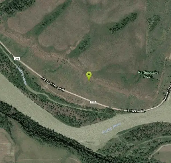
The shortest way to access the Arcane Crag is by driving past Kelly Canyon Ski Resort and continue 7.6 miles from where the pavement ends at Lift 4. A little over a mile from where the pavement ends is the Y Junction; stay to the right and follow the road down past Table Rock Campground, eventually reaching the river. From here, continue up river to the Wolverine Creek trailhead and keep going for another 1.5 miles to reach the Arcane. A small camping/parking area is located between the road and the river on the south side of the road. The Arcane crag is directly across the road and up the hillside to the north. A faint climbers trail can be found on either side of the gully leading up to the cliff. ***The 7.6 miles from the end of the pavement is important to know! Several people have gone out to the crag with the idea of approximate distances thinking they will just see the cliff from the road. Don't count on it. The crag is not obvious from certain vantage points along the road and many folks have missed it all together. Best to set your odometer where the pavement ends at Kelly Canyon.Courtesy of deanlords.blogspot.com

Other Rock Climbing Walls Nearby
South Park
Ririe, Idaho
6.0 miles WRock Climb near Ririe, Idaho
Rock Climb 0.3 mi
Pointless Crag
Ririe, Idaho
6.5 miles WA BLM sport climbing crag in the South Fork area near Ririe — short routes with suspect rock, fixed anchor biners for lowering (not yours to take), and a dedicated parking area 2.7 miles up South Fork Road.
Rock Climb
Paramount Wall / Blanche Rock
Ririe, Idaho
7.3 miles WA sport climbing wall above the road near Ririe with great exposure, afternoon shade, and well-loved 5.9–5.10 lines — most routes work with a 50-meter rope, established by Chuck Oddette and crew.
Camp, Horseback, Rock Climb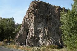
Heise Rock (AKA Elephant Rock)
Ririe, Idaho
8.3 miles WCLOSED. Rock climbing is no longer permitted. A volcanic plug sport climbing crag near Heise Hot Springs with lines developed since the late 1980s — great potential across the south side, with routes across all skill levels.
Rock Climb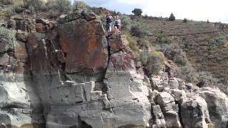
Blacktail Day Use Area
Ririe, Idaho
11.5 miles WCliff jumping from almost nothing up to 80 feet, plus rock climbing routes, on the north end of Ririe Reservoir — $3–$5 daily fee applies.
Dive, Rock Climb, Swim
Basalt Bluff / Steve's Rock
Teton, Idaho
18.1 miles NWA basalt crag with 11 established sport climbing routes ranging from 5.8 to 5.10+ — rappel off with two ropes or walk off to the north, but watch for attack bees at the top.
Rock Climb

Darby Canyon Cliffs
Alta, Wyoming
25.0 miles EA popular west-slope hike near Alta, Wyoming to an ancient Wind Cave snaking through 350-million-year-old dolomite, with waterfalls and wildflowers cascading down the canyon rim along the way.
Rock Climb 6.2 mi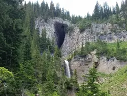
Darby Wind Cave
Driggs, Idaho
27.7 miles EWaterfalls, wildflowers, creek crossings, and a wind cave high on the canyon wall — Darby's switchback trail rewards hikers with views found nowhere else in the Tetons.
Backpack, Cave, Hike, Rock Climb
RPM Wall
Firth, Idaho
31.4 miles SWWolverine Canyon is full of limestone. The RPM wall being the currently developed wall and has some decent routes.
Rock Climb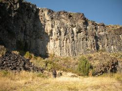
The Playground
Shelley, Idaho
35.8 miles SWA moderate-to-hard basalt sport climbing wall east of Idaho Falls with nine routes from 70 to 80 feet — including classics like 'Tied to the Whipping Post' and 'Anchored to the Sky,' best April through September.
Rock Climb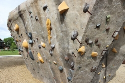
Phil Baux Park
Jackson, Wyoming
38.9 miles EA neighborhood park with playground basics plus the Teton Boulder Project — three 12-foot natural-style rock climbing structures with routes from beginner to advanced, alongside a mountain memorial.
Rock Climb 3.9-14.4 mi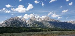
Grand Teton
Jackson Hole, Wyoming
39.5 miles EAt 13,770 feet, the Grand Teton towers over Western Wyoming — all popular routes require rock climbing gear and are for skilled climbers only, with 3,000 feet of exposure where a fall is fatal.
Backpack, Hike, Rock Climb 13.8 mi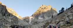
Middle Teton
Jackson Hole, Wyoming
39.5 miles EThe 12,804-ft Middle Teton rewards serious alpinists with glacier bouldering through the Southwest Couloir and panoramic views of the Grand, South, and surrounding Tetons.
Backpack, Hike, Rock ClimbNearby Campsites
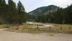
Table Rock Campground
Ririe, Idaho
4.2 miles NWA campground in Caribou-Targhee National Forest — part of a 3-million-acre stretch from Montana to the Utah and Wyoming borders — with access to the Curlew National Grassland.
Camp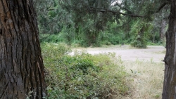
Wolf Flats Recreation Area
Ririe, Idaho
4.9 miles WWolf Flats Recreation Area is a free, undeveloped camping area strung along the South Fork of the Snake River in the canyon country east of Idaho Falls, and it's a longtime favorite of eastern Idaho...
Camp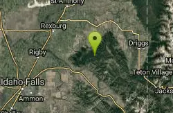
Moody Meadows
Driggs, Idaho
5.7 miles NEGood place for kids, they can ride bikes in the meadow, play in the stream, and camping is off of the road. Hiking, motorbiking, and horseback riding trails are abundant in the area.
Camp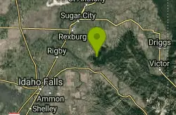
Big Hole Dispersed Campsites
Ririe, Idaho
6.5 miles NWA network of dispersed campsites with fire rings in the Big Hole mountains above Kelly Canyon — first come, first served, no reservations, and Leave No Trace principles are essential.
Camp
Paramount Wall / Blanche Rock
Ririe, Idaho
7.3 miles WA sport climbing wall above the road near Ririe with great exposure, afternoon shade, and well-loved 5.9–5.10 lines — most routes work with a 50-meter rope, established by Chuck Oddette and crew.
Camp, Horseback, Rock Climb 0.5-3.5 mi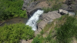
Webster's Dam
Ririe, Idaho
7.6 miles NWAn abandoned dam in Moody Creek canyon where sediment split the stream into two beautiful 15-foot waterfalls — stunning in spring runoff and blazing with fall colors.
Camp, Hike, Mountain Bike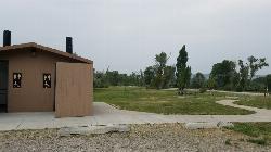
Kelly Island Campground
Ririe, Idaho
7.6 miles WA BLM campground with 14 family sites and 1 group site for RVs or tents, open May through September — vault toilets, pets welcome, and rates from $5–$20 per night.
Camp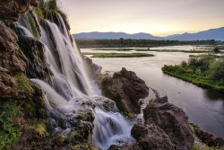
Fall Creek Falls
Swan Valley, Idaho
13.3 miles SEA shaded Snake River campground near Swan Valley with abundant wildlife, great trout fishing, and Fall Creek Falls a quarter-mile away.
Camp, Cave, Hike, Kayak, Swim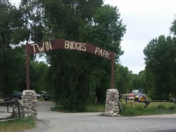
Twin Bridges Park
Rexburg, Idaho
13.4 miles WA 27-acre Snake River park between two bridges near Rexburg with shaded campsites, fire pits, pavilions, a playground, and BLM ground for hiking and hunting on three sides.
Camp, Canoe
Falls Campground
Victor, Idaho
14.2 miles SEA Snake River campground near Swan Valley with cottonwood shade, abundant wildlife — eagles, osprey, moose, and deer — and Fall Creek Falls just a quarter mile away; Palisades Reservoir is 20 miles out.
Camp
Pine Creek Campground
Victor, Idaho
15.5 miles EThe Pine Creek Campground has 10 single units and has restrooms.
Camp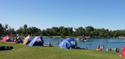
Jefferson County Lake (AKA Rigby Lake)
Rigby, Idaho
20.5 miles WSandy beaches, two floating docks with a slide, volleyball, playgrounds, and a safe swim zone — Jefferson County Lake is eastern Idaho's go-to summer swimming spot.
Camp, Canoe, Dive, Kayak, Sled, Swim 2.8-4.1 mi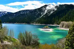
Palisades Creek Trail / Lakes and Waterfall Canyon
Irwin, Idaho
20.9 miles SESpectacular mountain views, two landslide-formed alpine lakes, and mountain goat sightings — all within a 4-to-6-mile hike in the Swan Valley wilderness.
Backpack, Camp, Hike, Horseback, Mountain Bike 0.2-0.5 mi
Eagle Park
Rexburg, Idaho
21.2 miles NWA cottonwood forest park inside Rexburg city limits with campsites, fishing, a dog park, mountain biking on easy and moderate loops, and rock-throwing by the river.
Camp, Hike, Mountain Bike, Sled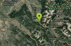
Mike Harris Campground
Victor, Idaho
22.5 miles EA scenic mountain campground at 6,200 feet along Teton Pass just 5 miles from Victor, Idaho — a peaceful base for fishing, trail exploring, and sightseeing in the Teton region.
Camp
Calamity Campground
Irwin, Idaho
24.5 miles SEA wooded Palisades Reservoir campground 55 miles east of Idaho Falls with clean blue water for swimming, boating, water skiing, and fishing — plus miles of ATV routes.
Camp, Canoe, Hike, Kayak, Mountain Bike, Swim
Beaver Dick Park
Rexburg, Idaho
24.7 miles NWA 9.5-acre Snake River park near Rexburg with fire pits, pavilions, fishing, boating, swimming, and a rich history tied to legendary frontiersman Beaver Dick Leigh.
Camp, Canoe, Disc Golf, Swim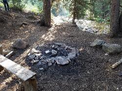
Darby Canyon Camping
Alta, Wyoming
25.0 miles EDispersed campsites with fire lays in scenic Darby Canyon — no official campground, just established spots in Wyoming wilderness. Leave No Trace and use existing rings only.
Camp 0.8-1.3 mi
Warm Slough Campground
Rexburg, Idaho
25.4 miles NWA popular river campground with two boat ramps and an easy, slow-moving inner tube float — the take-out is 1,000 feet from the put-in, making multiple runs a breeze.
Airsoft, Camp, Canoe 0.6-2.0 mi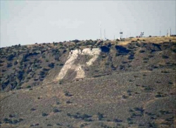
North Menan Butte ('R' Mountain)
Menan, Idaho
26.8 miles NWA volcanic butte locals call R Mountain, with a paved trailhead, chain handrails near the top, informational signs at the rim, and views of Rexburg and the Snake River.
Camp, Cave, Hike


