


East Hidden Valley
Rexburg, Idaho
| GPS: |
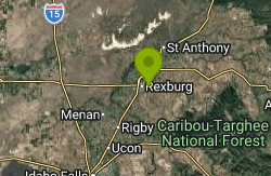
43°49'7.9"N 111°45'38.4"W Maps | Directions |
| State: | Idaho |
| Trails/Routes: | 0.4-1.3 mi |
Hike and Mountain Bike
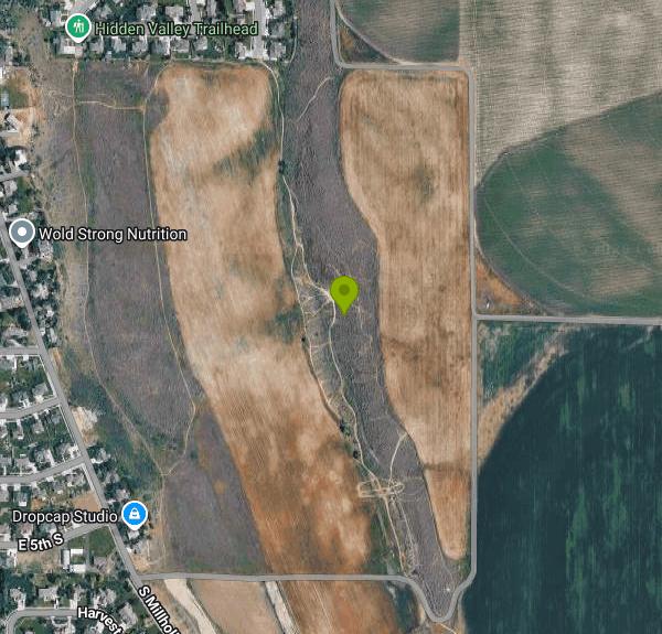
The East Side of Hidden Valley is the undeveloped half of the trail area on the edge of Rexburg, just east of the signed Hidden Valley Trails network. What was once dirt roads and a dirt bike playground is still mostly that over here: one rocky road up and one tight, janky singletrack back down.
The East Side is undeveloped and does not have parking. It is often marked No Trespassing. Mostly, if you don't know, don't go.
- Hidden Valley Singletrack is a tight trail with tight corners and sagebrush closing it in even more. It's pretty rocky and has a couple small drops/rock-rolls. Janky describes it well. There are a few gap jumps that you'll need to find some speed for. There are a couple of off-shoots that will drop you right back down to the road to hit some of the bigger jumps below. There's an off-shoot at the end of the trail that you've got to take if you don't want to end up in the field but it's pretty clear where that is when you get to it.
- Dr. Jekyll is the road you climb up and as a climb, is pretty technical in places with some pretty tricky line choices through rocky sections. The ride down faces similar challenges through the rocky sections, except with gravity on your side. Visibility is much better on the road than in the sagebrush and there's considerably more flow and even some small rollers to jump.
PLEASE NOTE: This is private property that the owners are kind enough to permit use right now. Please respect their surrounding fields and stay on the trails that are already there. Please respect the residents near the trailhead and don't block driveways.
More Information
Add ResourceNever modify trail features. Ride trails when they're dry enough that you won't leave ruts. Speak up when you see others on the trail and always yield to hikers, horses, and others coming uphill. Always ride on the established trail.
Read MoreBe courteous, informed, and prepared. Read trailhead guidelines, stay on the trail, and don't feed the wildlife.
Read More
- Plan Ahead and Prepare
- Travel & camp on durable surfaces
- Dispose of waste properly
- Leave what you find
- Minimize campfire impacts
- Respect wildlife
- Be considerate of other visitors
Directions
From Rexburg, Idaho
- Head south on S 3rd W toward W 2nd S (456 ft)
- Turn left onto W 2nd S (1.2 mi)
- Slight right onto S Millhollow Rd (0.5 mi)
- Turn left (0.6 mi)
There is no established trailhead or parking on the East Side. The old entries from 7th South and Hidden Valley Road are closed off and posted No Trespassing. If you ride here, stay on the trails that already exist and respect posted signs, residents, and land. Disrespect is a recipe for closure.
Other Mountain Bike Trails and Hiking Trails Nearby

Hidden Valley Trails
Rexburg, Idaho
0.4 miles NWA well-signed network of downhill singletrack flows around the edges of Rexburg, with trails like Flow State, Drop Zone, and Lil' Sendy for every ability level.
Hike, Mountain Bike 0.4-0.7 mi
Rexburg Bike Park
Rexburg, Idaho
1.6 miles NWA beginner-friendly bike park behind Rexburg Rapids with mounts in small, medium, and large sizes — and the same hills turn into great sledding terrain when snow arrives in winter.
Mountain Bike, Sled 0.2-0.5 mi
Eagle Park
Rexburg, Idaho
2.1 miles NWA cottonwood forest park inside Rexburg city limits with campsites, fishing, a dog park, mountain biking on easy and moderate loops, and rock-throwing by the river.
Camp, Hike, Mountain Bike, Sled 1.0-1.3 mi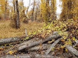
Lorenzo Bridge
Rexburg, Idaho
7.9 miles SWA quiet former boat launch with primitive riverside trails, a hidden lake, stunning fall colors, and a natural paintball field bounded by river and dry creek bed.
Airsoft, Hike, Paintball 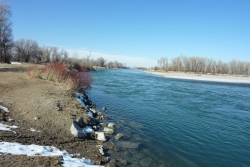
Lorenzo Boat Ramp
Rigby, Idaho
8.3 miles SWThe Lorenzo Boat Access is the gateway to one of eastern Idaho's most beloved stretches of fly-fishing and floating water, a BLM river access on the South Fork of the Snake River just north of Rigby....
Hike, Kayak 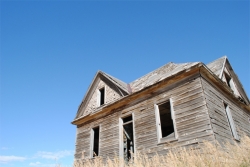
Herbert Idaho Ghost Town
Ririe, Idaho
9.2 miles SECLOSED. Private property marked NO TRESPASSING. The quiet ghost of a farming and mining community that once housed 150 people — Herbert, Idaho faded with the automobile, and the old house was lost to vandals around 2017.
Hike 
Henry's Fork Green Way (St. Anthony Green Belt)
Saint Anthony, Idaho
10.5 miles NAn easy paved 2-mile round-trip riverside walk along Henry's Fork in Saint Anthony — a statue of fur trader Andrew Henry at the halfway loop, and a pet-friendly, beginner-friendly path.
Hike 0.3-0.6 mi
Cress Creek Nature Trail
Rexburg, Idaho
11.2 miles SA 1.25-mile self-guided nature trail along the South Fork of the Snake River through sagebrush, juniper slopes, and lush creekside habitat — with an overlook trail, caves near the rim, and moose sightings.
Hike 0.6-2.0 mi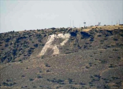
North Menan Butte ('R' Mountain)
Menan, Idaho
11.7 miles WA volcanic butte locals call R Mountain, with a paved trailhead, chain handrails near the top, informational signs at the rim, and views of Rexburg and the Snake River.
Camp, Cave, Hike 0.5-3.5 mi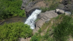
Webster's Dam
Ririe, Idaho
11.7 miles SEAn abandoned dam in Moody Creek canyon where sediment split the stream into two beautiful 15-foot waterfalls — stunning in spring runoff and blazing with fall colors.
Camp, Hike, Mountain Bike 3.0 mi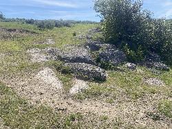
Biting Goat Trail
Ririe, Idaho
12.1 miles SEA revived 2022 trail with a bit of everything — doubletrack bombing, aspen-grove weaving, clifftop rock features, and some fun rock rolls — with cows still sharing the path.
Mountain Bike 
Cranky Cowboy
Herbert, Idaho
12.1 miles SEMountain Bike near Herbert, Idaho
Mountain Bike 2.1 mi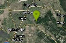
Batman
Ririe, Idaho
13.2 miles SEA rolling, short-and-steep singletrack fence-line trail with cow encounters and easy road-based connections to other rides near Ririe, Idaho.
Mountain Bike 1.7 mi
Randy's Cow Trail / Ken's Corner
Ririe, Idaho
13.2 miles SEA gradual, canopy-covered singletrack with tight corners and incredible forest smells — perfect for a leisurely ride up or a thrilling run down from Batman and Buckskin Morgan.
Mountain Bike 
Kelly Canyon
Ririe, Idaho
13.6 miles SEA switchback climb up Kelly Mountain with two brief red-line efforts, the infamous Shale Chute descent, and possible company from motorcycles or cows — a short, decent ride.
Mountain Bike 
Kelly Canyon Loops
Ririe, Idaho
13.8 miles SEA mountain bike network near Kelly Canyon Ski Area in Ririe, Idaho with panoramic summit views and multiple trail options including the Waterfall Loop, Fish Creek Loop, and alpine cow-path routes.
Mountain Bike 1.6 mi
Skyline
Ririe, Idaho
13.9 miles SA punchy singletrack climb out of Little Kelly Canyon with great ridge vistas, narrow traverse, and a fast, loose downhill — a mix of singletrack and old motorized trail near Ririe, Idaho.
Mountain Bike 11.9 mi
Waterfall Loop
Ririe, Idaho
14.2 miles SEA mix of singletrack, forest road, and doubletrack near Kelly Canyon Ski Area in Idaho with about 1,400 feet of elevation change — GPS or a printed map is essential since signage is sparse.
Mountain Bike 3.8 mi
Kelly Mountain Trail
Ririe, Idaho
14.6 miles SEA moderate uphill trail open to hikers, mountain bikers, and ATVs, winding through hills with wildflower and mountain views — dogs welcome on leash.
Cross-country Ski, Hike, Mountain Bike, Snowshoe 1.7 mi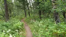
Buckskin Morgan Ridge
Ririe, Idaho
14.6 miles SEA punchy climb to Buckskin Morgan Ridge pays off with twisty singletrack descents through roots, loose rock, and rolling hills above the Snake River Plain.
Hike, Mountain BikeNearby Campsites
Eagle Park
Rexburg, Idaho
2.1 miles NWA cottonwood forest park inside Rexburg city limits with campsites, fishing, a dog park, mountain biking on easy and moderate loops, and rock-throwing by the river.
Camp, Hike, Mountain Bike, Sled 0.8-1.3 mi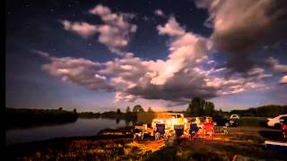
Warm Slough Campground
Rexburg, Idaho
6.4 miles NWA popular river campground with two boat ramps and an easy, slow-moving inner tube float — the take-out is 1,000 feet from the put-in, making multiple runs a breeze.
Airsoft, Camp, Canoe 
Beaver Dick Park
Rexburg, Idaho
7.2 miles WA 9.5-acre Snake River park near Rexburg with fire pits, pavilions, fishing, boating, swimming, and a rich history tied to legendary frontiersman Beaver Dick Leigh.
Camp, Canoe, Disc Golf, Swim 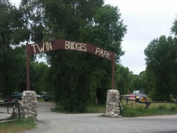
Twin Bridges Park
Rexburg, Idaho
10.1 miles SA 27-acre Snake River park between two bridges near Rexburg with shaded campsites, fire pits, pavilions, a playground, and BLM ground for hiking and hunting on three sides.
Camp, Canoe 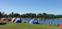
Jefferson County Lake (AKA Rigby Lake)
Rigby, Idaho
10.9 miles SWSandy beaches, two floating docks with a slide, volleyball, playgrounds, and a safe swim zone — Jefferson County Lake is eastern Idaho's go-to summer swimming spot.
Camp, Canoe, Dive, Kayak, Sled, Swim 0.6-2.0 mi
North Menan Butte ('R' Mountain)
Menan, Idaho
11.7 miles WA volcanic butte locals call R Mountain, with a paved trailhead, chain handrails near the top, informational signs at the rim, and views of Rexburg and the Snake River.
Camp, Cave, Hike 0.5-3.5 mi
Webster's Dam
Ririe, Idaho
11.7 miles SEAn abandoned dam in Moody Creek canyon where sediment split the stream into two beautiful 15-foot waterfalls — stunning in spring runoff and blazing with fall colors.
Camp, Hike, Mountain Bike 
Big Hole Dispersed Campsites
Ririe, Idaho
12.7 miles SEA network of dispersed campsites with fire rings in the Big Hole mountains above Kelly Canyon — first come, first served, no reservations, and Leave No Trace principles are essential.
Camp 
Paramount Wall / Blanche Rock
Ririe, Idaho
13.6 miles SEA sport climbing wall above the road near Ririe with great exposure, afternoon shade, and well-loved 5.9–5.10 lines — most routes work with a 50-meter rope, established by Chuck Oddette and crew.
Camp, Horseback, Rock Climb 
Kelly Island Campground
Ririe, Idaho
14.3 miles SA BLM campground with 14 family sites and 1 group site for RVs or tents, open May through September — vault toilets, pets welcome, and rates from $5–$20 per night.
Camp 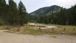
Table Rock Campground
Ririe, Idaho
15.6 miles SEA campground in Caribou-Targhee National Forest — part of a 3-million-acre stretch from Montana to the Utah and Wyoming borders — with access to the Curlew National Grassland.
Camp 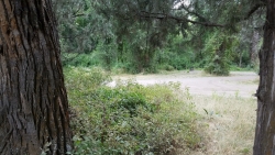
Wolf Flats Recreation Area
Ririe, Idaho
17.0 miles SEWolf Flats Recreation Area is a free, undeveloped camping area strung along the South Fork of the Snake River in the canyon country east of Idaho Falls, and it's a longtime favorite of eastern Idaho...
Camp 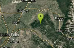
Moody Meadows
Driggs, Idaho
17.6 miles SEGood place for kids, they can ride bikes in the meadow, play in the stream, and camping is off of the road. Hiking, motorbiking, and horseback riding trails are abundant in the area.
Camp 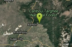
Warm River Campground
Ashton, Idaho
30.6 miles NESlow-moving warm water and willow-lined banks make this campground a perfect spot for tubing, trout fishing, and peaceful mountain biking at 5,200 ft elevation.
Camp 
Pine Butte / The Caldera
St. Anthony, Idaho
30.9 miles NAn old volcano in the Idaho desert that feels like stepping into a mountain forest — pine-covered hillsides, a meadow ringed by aspen and boulders, and a quarter-mile easy trail to the caldera floor.
Camp, Hike, Horseback 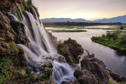
Fall Creek Falls
Swan Valley, Idaho
32.4 miles SEA shaded Snake River campground near Swan Valley with abundant wildlife, great trout fishing, and Fall Creek Falls a quarter-mile away.
Camp, Cave, Hike, Kayak, Swim 
Pine Creek Campground
Victor, Idaho
32.5 miles SEThe Pine Creek Campground has 10 single units and has restrooms.
Camp 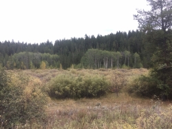
Porcupine Creek
Ashton, Idaho
32.7 miles NEA backcountry hunting, fishing, camping, and swimming spot in Targhee National Forest, surrounded by forests, meadows, a creek, and unmarked trails — bear country, so pack and store food carefully.
Camp, Swim 0.3-0.6 mi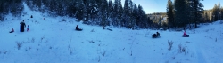
Bear Gulch
Ashton, Idaho
32.9 miles NEAn abandoned ski hill from 1969 with overgrown runs that still deliver great sledding — the lower run is fast and winding all the way down to the old ski lift.
Camp, Cross-country Ski, Hike, Sled 
Sealander Park
Idaho Falls, Idaho
33.2 miles SWA peaceful 15-acre park steeped in Idaho homesteader history — listed on the National Register of Historic Places, Sealander Park is available to reserve for picnics, reunions, weddings, and retreats.
Camp


